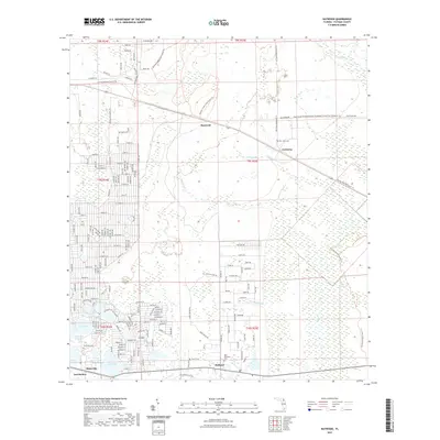
2021 Map of Baywood
USGS Topo · Published 2021About this map
Interlachen and Hollister anchor the southern edge of this Putnam County landscape, where the sandy ridges of Florida's lake country meet the expansive Rice Creek Swamp. The terrain is defined by a dense network of hydrologic features including Violet Lake, Lake Ida, and Up and Down Lake, alongside the meandering path of Etonia Creek. The transition from small-town settlement to timberland is visible through the numerous trails crisscrossing the region, such as the Florida National Scenic Trail and the Etoniah Creek State Forest Trail. Local heritage is preserved in scattered rural burial grounds like Naomi Cemetery and Mel-Wun Cemetery, while the presence of the Old Gainesville Hwy traces the historic transportation corridor through Mannville.
Find a feature on this map
39 named features on this map. Tap any name to fly to it.
Don’t see what you’re looking for? This feature index may not catch every label — zoom into the map to look around manually.
Map Details
Editions of this 2021 Baywood Map
This is the sole edition of this map. No revisions or reprints were ever made.
Other maps of this area

1912 · Palatka
USGS Topo · 1:48,000

1915 · Palatka
USGS Topo · 1:62,500

1915 · Interlachen
USGS Topo · 1:48,000

1916 · Interlachen
USGS Topo · 1:62,500

1942 · Ates Creek
USGS Topo · 1:62,500

1944 · Interlachen
USGS Topo · 1:62,500

1947 · Bostwick
USGS Topo · 1:50,000

1949 · Rice Creek
USGS Topo · 1:24,000

1949 · Bostwick
USGS Topo · 1:24,000

1949 · Keuka
USGS Topo · 1:24,000