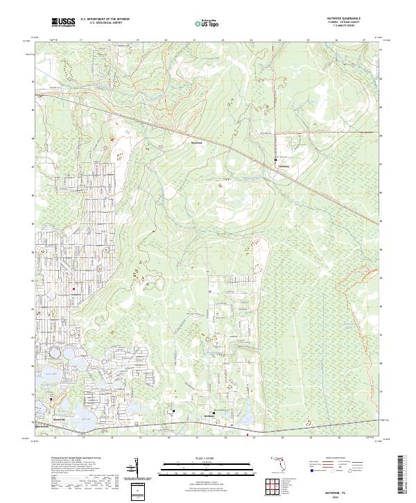
2024 Map of Baywood
USGS Topo · Published 2024About this map
Etonia Creek and the extensive Rice Creek Swamp define the hydrological character of this Putnam County landscape. The settlement pattern follows a clear corridor in the south, where Hollister, Mannville, and the outskirts of Interlachen are linked by the Old Gainesville Hwy. This concentration of communities is surrounded by numerous small water bodies, including Church Lake, Violet Lake, and Lake Ida, suggesting a region shaped by both its timber resources and its proximity to the Florida lake system.
Find a feature on this map
108 named features on this map. Tap any name to fly to it.
Don’t see what you’re looking for? This feature index may not catch every label — zoom into the map to look around manually.
Map Details
Editions of this 2024 Baywood Map
This is the sole edition of this map. No revisions or reprints were ever made.
Other maps of this area

1912 · Palatka
USGS Topo · 1:48,000

1915 · Palatka
USGS Topo · 1:62,500

1915 · Interlachen
USGS Topo · 1:48,000

1916 · Interlachen
USGS Topo · 1:62,500

1942 · Ates Creek
USGS Topo · 1:62,500

1944 · Interlachen
USGS Topo · 1:62,500

1947 · Bostwick
USGS Topo · 1:50,000

1949 · Rice Creek
USGS Topo · 1:24,000

1949 · Bostwick
USGS Topo · 1:24,000

1949 · Keuka
USGS Topo · 1:24,000