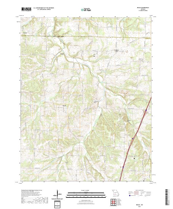
2021 Map of Beach
USGS Topo · Published 2021About this map
Niangua River and its various forks carve through this section of the Ozarks along the boundary between Dallas and Webster counties. The landscape is defined by its dramatic topography, where the water has cut deep valleys beneath prominent overlooks like Jameson Bluff, Thompson Bluff, and Mill Bluff. These natural features dictated the early settlement patterns of the region, forcing roads and small communities like Beach and Forkners Hill to occupy the higher ridges and plateaus between the drainage basins.
Find a feature on this map
95 named features on this map. Tap any name to fly to it.
Don’t see what you’re looking for? This feature index may not catch every label — zoom into the map to look around manually.
Map Details
Editions of this 2021 Beach Map
This is the sole edition of this map. No revisions or reprints were ever made.
Historical Maps of Forkners Hill Through Time
12 maps found
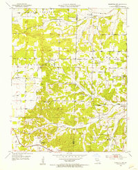
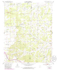
1951 Mansfield NW
Webster County, MO
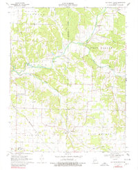
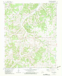
1970 Elkland
Webster County, MO
1970 Oak Grove Heights
Webster County, MO

1977 Mansfield NW
Webster County, MO
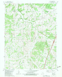
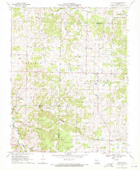
1982 Beach
Webster County, MO
1982 High Prairie
Webster County, MO
1985 Mansfield NW
Webster County, MO
2021 Beach
Webster County, MO
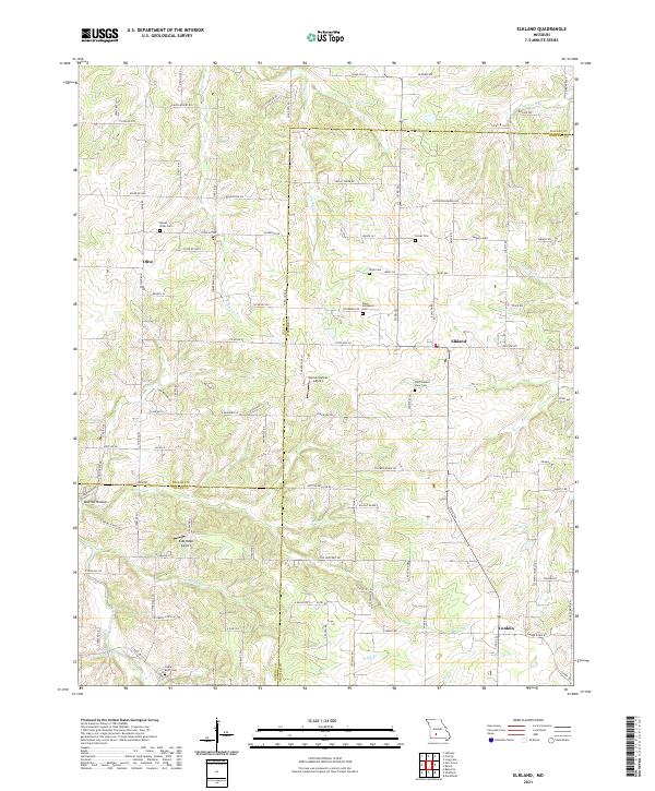
2021 Elkland
Webster County, MO
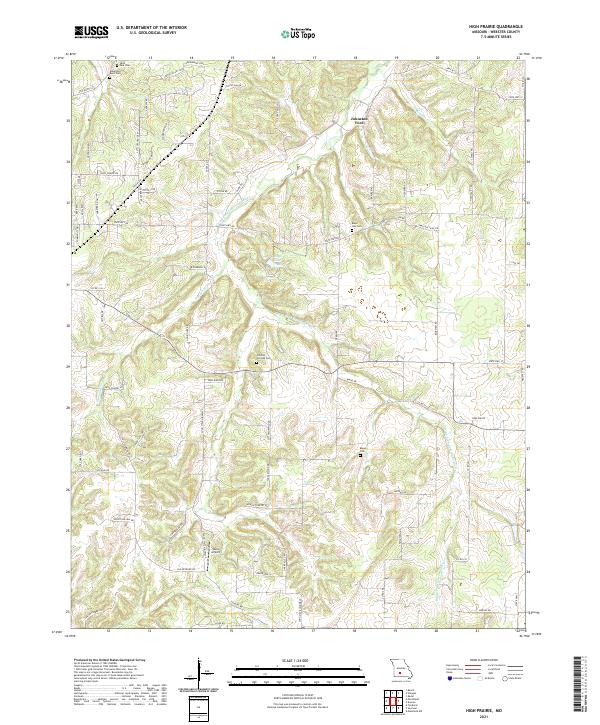
2021 High Prairie
Webster County, MO
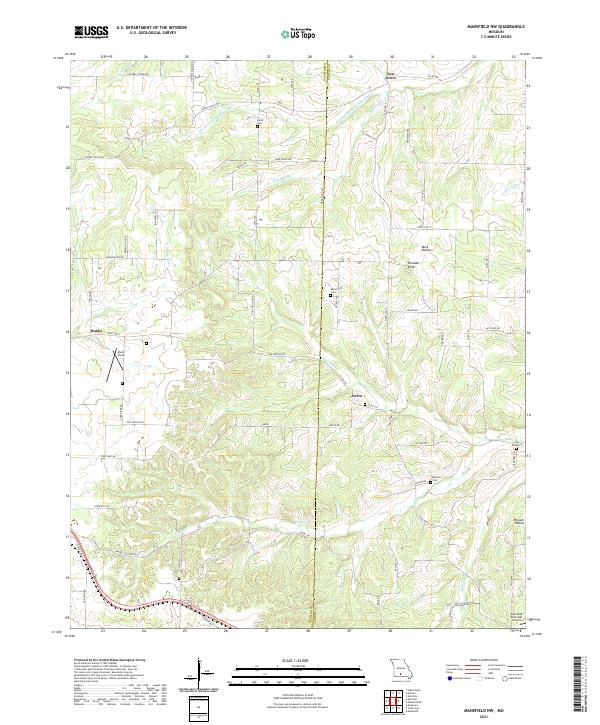
2021 Mansfield NW
Webster County, MO
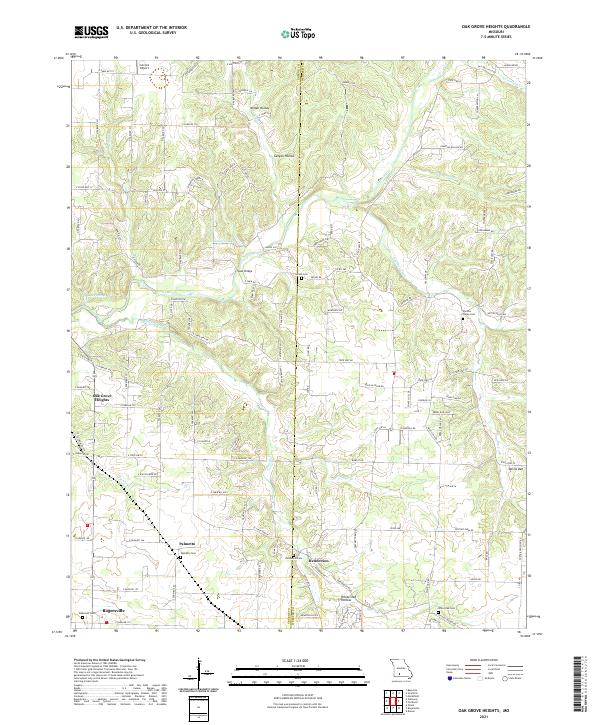
2021 Oak Grove Heights
Webster County, MO