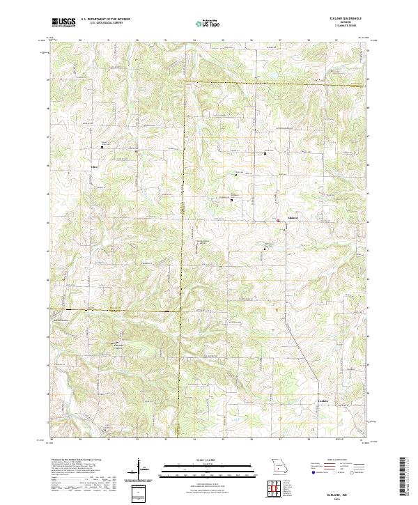
2021 Map of Elkland
USGS Topo · Published 2021About this map
Elkland sits at a geographic crossroads in Webster County, where the landscape transitions across the borders of Dallas and Greene counties. This modern survey illustrates a rural interior defined by small family and community burial grounds, such as Mount Olive Cem, Stever Cem, and the Old Pleasant View Cem. The settlement at Olive and the southern hamlet of Conklin anchor the residential distribution, while the Pomme de Terre River and Selph Br provide the primary drainage for the area. Private aviation landmarks like Blumenstetter Airport and Eads Ridge Airport punctuate the farmland. Notable terrain features such as Mutton Hollow and various creek branches like Staten Cr and Greasy Cr showcase the intricate network of valleys and ridges that characterize this portion of the Ozarks.
Find a feature on this map
110 named features on this map. Tap any name to fly to it.
Don’t see what you’re looking for? This feature index may not catch every label — zoom into the map to look around manually.
Map Details
Editions of this 2021 Elkland Map
This is the sole edition of this map. No revisions or reprints were ever made.
Other maps of this area

1884 · Springfield
USGS Topo · 1:125,000

1884 · Bolivar
USGS Topo · 1:125,000

1886 · Springfield
USGS Topo · 1:125,000

1892 · Bolivar
USGS Topo · 1:125,000

1939 · Long Lane
USGS Topo · 1:62,500

1942 · Long Lane
USGS Topo · 1:62,500

1946 · Bassville
USGS Topo · 1:24,000

1946 · Niangua
USGS Topo · 1:62,500

1947 · Strafford
USGS Topo · 1:62,500

1948 · Bassville
USGS Topo · 1:24,000