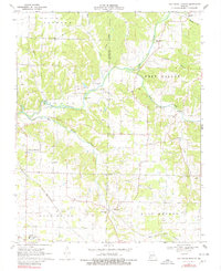
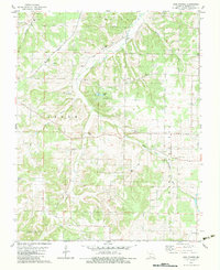
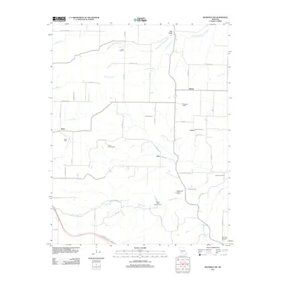
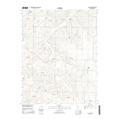
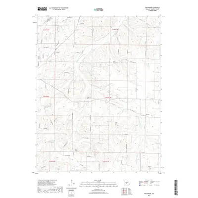
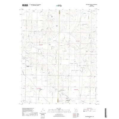
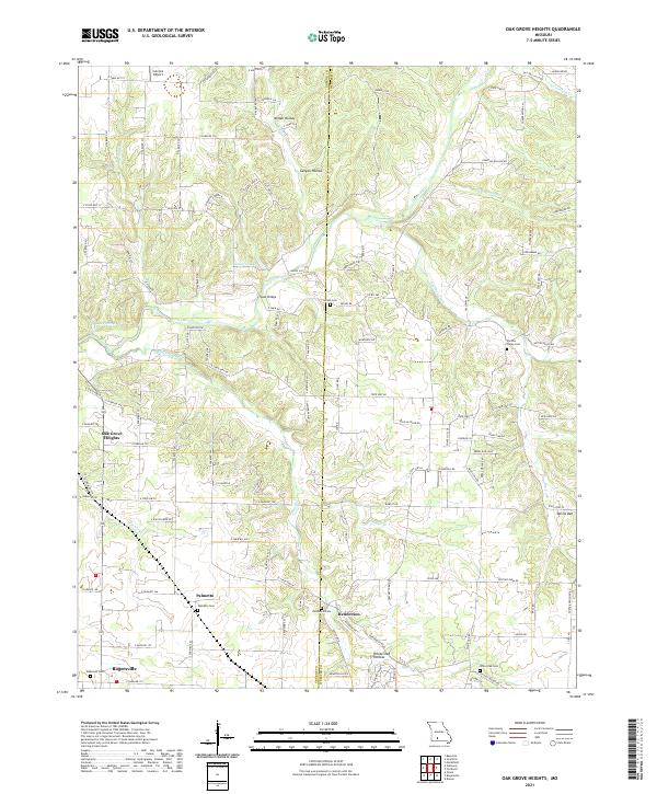
1970 Map of Oak Grove Heights
USGS Topo · Published 1980About this map
Oak Grove Heights and the surrounding rural landscape of the Greene and Webster county line are captured here following a 1970 field check. The St Louis-San Francisco railroad cuts a diagonal path through the southern townships of Washington and West Benton, serving the small communities of Palmetto and Henderson. The terrain is defined by the winding course of the James River and its numerous tributaries, including Sawyer Creek and Panther Creek, which carve deep hollows like Canyon Hollow and Davis Hollow into the Ozark plateau.
Find a feature on this map
37 named features on this map. Tap any name to fly to it.
Don’t see what you’re looking for? This feature index may not catch every label — zoom into the map to look around manually.
Map Details
Editions of this 1970 Oak Grove Heights Map
2 editions found

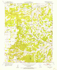
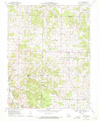
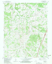
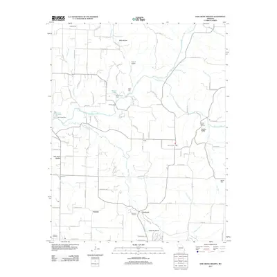
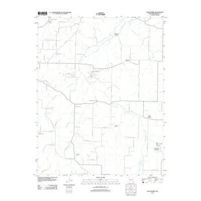
Historical Maps of Panther Valley Through Time
27 maps found
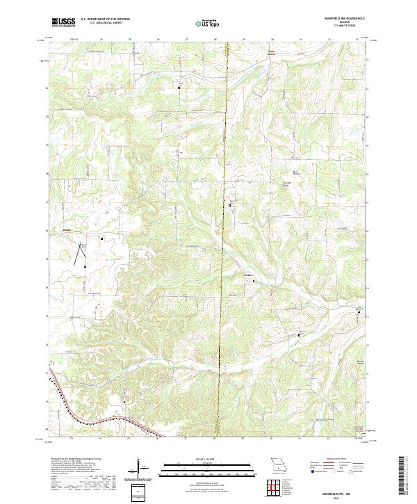
1951 Mansfield NW
Webster County, MO
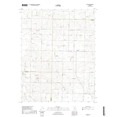
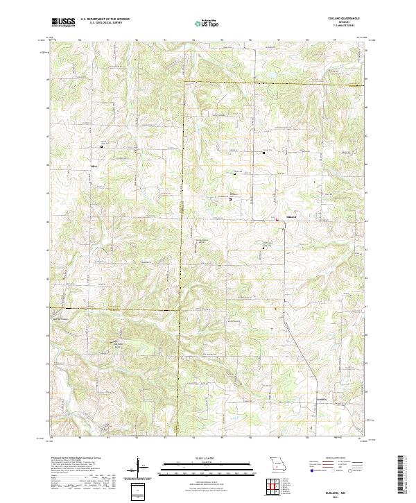
1970 Elkland
Webster County, MO
1970 Oak Grove Heights
Webster County, MO

1977 Mansfield NW
Webster County, MO
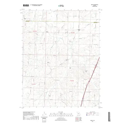
1982 Beach
Webster County, MO
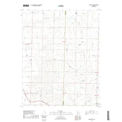
1982 High Prairie
Webster County, MO
1985 Mansfield NW
Webster County, MO
2011 Beach
Webster County, MO
2011 Elkland
Webster County, MO
2011 Mansfield NW
Webster County, MO
2011 Oak Grove Heights
Webster County, MO
2012 High Prairie
Webster County, MO
2015 Beach
Webster County, MO
2015 Elkland
Webster County, MO
2015 High Prairie
Webster County, MO
2015 Mansfield NW
Webster County, MO
2015 Oak Grove Heights
Webster County, MO
2017 Beach
Webster County, MO
2017 Elkland
Webster County, MO
2017 High Prairie
Webster County, MO
2017 Mansfield NW
Webster County, MO
2017 Oak Grove Heights
Webster County, MO
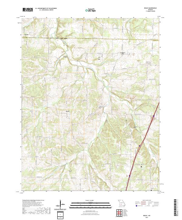
2021 Beach
Webster County, MO
2021 Elkland
Webster County, MO
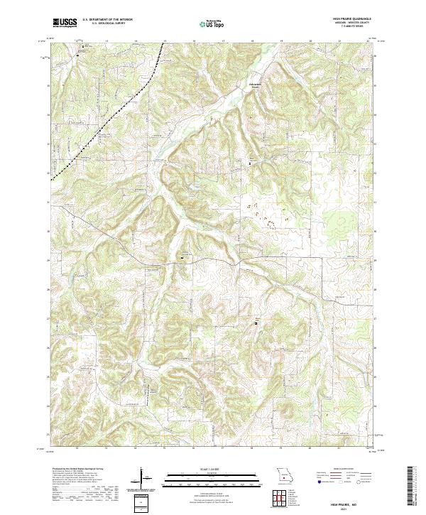
2021 High Prairie
Webster County, MO
2021 Mansfield NW
Webster County, MO
2021 Oak Grove Heights
Webster County, MO