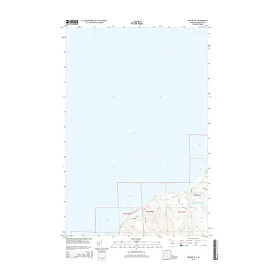
2014 Map of Beacon Hill
USGS Topo · Published 2014About this map
Lake Superior dominates the northern reaches of this coastal landscape, where the rugged shoreline of the Keweenaw Peninsula meets the cold waters of the great lake. Along the high bluffs, the settlements of Beacon Hill and Freda sit as enduring markers of the region's industrial heritage, connected by local routes such as Freda Rd and the Freda Cross Cut. Further east, Redridge is positioned near the mouth of the Salmon Trout River, which carves through the terrain as it descends toward the coast. The road network, including Superior View Rd and Messner Rd, reflects the topographical challenges of this elevation-heavy shoreline, while the inclusion of the Boy Scout Cp suggests the area's continued use for recreation and community organization within Houghton County.
Find a feature on this map
16 named features on this map. Tap any name to fly to it.
Don’t see what you’re looking for? This feature index may not catch every label — zoom into the map to look around manually.
Map Details
Editions of this 2014 Beacon Hill Map
This is the sole edition of this map. No revisions or reprints were ever made.
Other maps of this area

1915 · Houghton
USGS Topo · 1:62,500

1946 · South Range
USGS Topo · 1:24,000

1948 · South Range
USGS Topo · 1:24,000

1954 · Graveraet River
USGS Topo · 1:24,000

1954 · Oskar
USGS Topo · 1:24,000

1954 · Beacon Hill
USGS Topo · 1:24,000

1954 · Rockhouse Point
USGS Topo · 1:24,000

1954 · Houghton
USGS Topo · 1:62,500

1958 · Hancock
USGS Topo · 1:250,000

1960 · Hancock
USGS Topo · 1:250,000