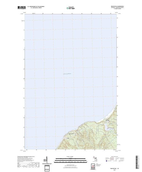
2023 Map of Beacon Hill
USGS Topo · Published 2023About this map
Lake Superior defines the northern edge of this coastal section of the Keweenaw Peninsula, where the rugged terrain of Houghton County meets the water. The map documents the persistent layout of small copper-country settlements including Beacon Hill, Freda, and Redridge. These locations developed around the stamp mills of the local mining industry, and their enduring footprints are still visible along the lakefront. Inland, the topography is carved by the Salmon Trout River as it winds toward the coast, flanked by a network of rural routes such as Beacon Hill-Toivola Rd and Co Rd S-554. The landscape remains a mix of steep elevation changes and dense drainage patterns, characteristic of the region’s post-industrial wilderness.
Find a feature on this map
12 named features on this map. Tap any name to fly to it.
Don’t see what you’re looking for? This feature index may not catch every label — zoom into the map to look around manually.
Map Details
Editions of this 2023 Beacon Hill Map
This is the sole edition of this map. No revisions or reprints were ever made.
Other maps of this area

1915 · Houghton
USGS Topo · 1:62,500

1946 · South Range
USGS Topo · 1:24,000

1948 · South Range
USGS Topo · 1:24,000

1954 · Graveraet River
USGS Topo · 1:24,000

1954 · Oskar
USGS Topo · 1:24,000

1954 · Beacon Hill
USGS Topo · 1:24,000

1954 · Rockhouse Point
USGS Topo · 1:24,000

1954 · Houghton
USGS Topo · 1:62,500

1958 · Hancock
USGS Topo · 1:250,000

1960 · Hancock
USGS Topo · 1:250,000