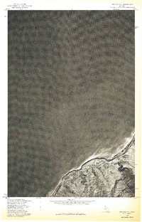
1978 Map of Beacon Hill
USGS Topo · Published 1978About this map
Lake Superior dominates the northern reaches of this 1978 orthophotoquad, where the copper country shoreline meets the cold waters of the great lake. This advance print utilizes aerial photography from October 1978 to reveal the physical landscape around the small settlements of Beacon Hill and Redridge. The map provides a unique visual hybrid, overlaying traditional land lines from a 1954 topographic survey onto the actual photographic terrain. This perspective highlights the relationship between the coastal hamlets and the wooded plateau of the Keweenaw Peninsula, showing the dense forest cover and the winding road network that connects these remote Michigan communities. The distinct lack of heavy industrial infrastructure in this specific view, compared to the region's mining heyday, offers a grounded look at the area's mid-century character.
Find a feature on this map
5 named features on this map. Tap any name to fly to it.
Don’t see what you’re looking for? This feature index may not catch every label — zoom into the map to look around manually.
Map Details
Editions of this 1978 Beacon Hill Map
This is the sole edition of this map. No revisions or reprints were ever made.
Other maps of this area

1915 · Houghton
USGS Topo · 1:62,500

1946 · South Range
USGS Topo · 1:24,000

1948 · South Range
USGS Topo · 1:24,000

1954 · Graveraet River
USGS Topo · 1:24,000

1954 · Oskar
USGS Topo · 1:24,000

1954 · Beacon Hill
USGS Topo · 1:24,000

1954 · Rockhouse Point
USGS Topo · 1:24,000

1954 · Houghton
USGS Topo · 1:62,500

1958 · Hancock
USGS Topo · 1:250,000

1960 · Hancock
USGS Topo · 1:250,000