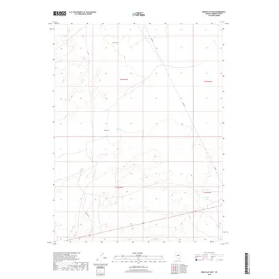
2018 Map of Bean Flat East
USGS Topo · Published 2018About this map
Woods Spring One, Woods Spring Two, and Woods Spring Three indicate the essential role of water sources across this high-desert landscape in central Nevada. The terrain is characterized by broad alluvial basins, specifically Grubb Flat in the north and Bean Flat in the south, where the drainage pattern includes the ephemeral Coils Cr. These flats are bordered by rising elevations that define the watershed.
Find a feature on this map
16 named features on this map. Tap any name to fly to it.
Don’t see what you’re looking for? This feature index may not catch every label — zoom into the map to look around manually.
Map Details
Editions of this 2018 Bean Flat East Map
This is the sole edition of this map. No revisions or reprints were ever made.
Other maps of this area

1926 · Roberts Mountains
USGS Topo · 1:250,000

1929 · Roberts Mountains
USGS Topo · 1:250,000

1955 · Millett
USGS Topo · 1:250,000

1956 · Bartine Ranch
USGS Topo · 1:62,500

1956 · Antelope Peak
USGS Topo · 1:62,500

1956 · Ackerman Canyon
USGS Topo · 1:62,500

1959 · Millett
USGS Topo · 1:250,000

1960 · Hickison Summit
USGS Topo · 1:62,500

1978 · Summit Mountain
USGS Topo · 1:100,000

1979 · Simpson Park Mtns
USGS Topo · 1:100,000