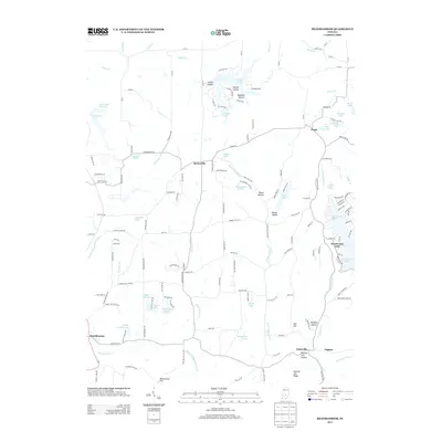
2013 Map of Beanblossom
USGS Topo · Published 2013About this map
Beanblossom and Spearsville anchor a landscape defined by the branching waterways of northern Brown County. This 2013 survey reveals a geography shaped by the drainage of North Fork Beanblossom Cr and North Fork Salt Cr, where human settlement follows the narrow ridges and creek bottoms. The area is characterized by numerous small reservoirs and residential lake communities, including Lamb Lake, Earlham Lake, and the larger Sweetwater Lake to the east.
Find a feature on this map
150 named features on this map. Tap any name to fly to it.
Don’t see what you’re looking for? This feature index may not catch every label — zoom into the map to look around manually.
Map Details
Editions of this 2013 Beanblossom Map
This is the sole edition of this map. No revisions or reprints were ever made.
Other maps of this area

1942 · Franklin
USGS Topo · 1:125,000

1946 · Belmont
USGS Topo · 1:24,000

1947 · Nashville
USGS Topo · 1:24,000

1947 · Franklin
USGS Topo · 1:62,500

1948 · Franklin
USGS Topo · 1:24,000

1948 · New Bellsville
USGS Topo · 1:24,000

1948 · Trafalgar
USGS Topo · 1:24,000

1948 · Nineveh
USGS Topo · 1:24,000

1948 · Fruitdale
USGS Topo · 1:24,000

1948 · Morgantown
USGS Topo · 1:24,000