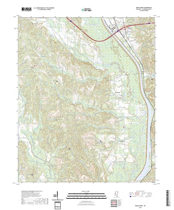
2024 Map of Beans Ferry
USGS Topo · Published 2024About this map
The Tombigbee River and the massive Tennessee-Tombigbee Waterway dominate the landscape of Itawamba County in this modern-day survey. This corridor has long been a vital artery for the region, and the map shows the transition from the winding natural river channel to the modern navigable waterway. Nearby, the community of Beans Ferry preserves the name of a historic crossing point, while Van Buren and Cardsville sit further inland among the dissected hills. Genealogists will find several family-named burial grounds scattered across the terrain, including Reeds Cem, Wygul Cem, and Bean Cem. The area around Fulton in the northeast corner serves as a focal point where multiple county roads, such as Country Club Rd and Hardin Chapel Rd, converge near the river valley. The landscape is heavily defined by its drainage, with Mantachie Creek and Bourland Creek cutting through the western elevations.
Find a feature on this map
74 named features on this map. Tap any name to fly to it.
Don’t see what you’re looking for? This feature index may not catch every label — zoom into the map to look around manually.
Map Details
Editions of this 2024 Beans Ferry Map
This is the sole edition of this map. No revisions or reprints were ever made.
Other maps of this area

1921 · Tupelo
USGS Topo · 1:48,000

1923 · Tupelo
USGS Topo · 1:62,500

1956 · Tupelo
USGS Topo · 1:250,000

1958 · Tupelo
USGS Topo · 1:250,000

1965 · Mooreville
USGS Topo · 1:24,000

1965 · Fulton SE
USGS Topo · 1:24,000

1965 · Fulton
USGS Topo · 1:24,000

1966 · Smithville
USGS Topo · 1:24,000

1966 · Beans Ferry
USGS Topo · 1:24,000

1966 · Turon
USGS Topo · 1:24,000