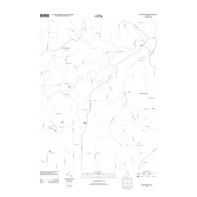
2013 Map of Bear Branch
USGS Topo · Published 2013About this map
Laughery Cr and its many winding tributaries define the rural landscape of southeastern Indiana in this detailed survey. The map centers on the small unincorporated community of Bear Branch, where local routes like Raisor Hill Rd and Speier Rd converge. Further north, the settlement of Farmers Retreat sits along a prominent bend in the road, while the community of Milton is positioned near the northeastern corner where the creek broadens.
Find a feature on this map
101 named features on this map. Tap any name to fly to it.
Don’t see what you’re looking for? This feature index may not catch every label — zoom into the map to look around manually.
Map Details
Editions of this 2013 Bear Branch Map
This is the sole edition of this map. No revisions or reprints were ever made.
Other maps of this area

1915 · Lawrenceburg
USGS Topo · 1:48,000

1928 · Lawrenceburg
USGS Topo · 1:62,500

1932 · Lawrenceburg
USGS Topo · 1:62,500

1943 · Florence
USGS Topo · 1:24,000

1943 · Aberdeen
USGS Topo · 1:24,000

1943 · Aurora
USGS Topo · 1:24,000

1943 · Vevay North
USGS Topo · 1:24,000

1946 · Milan
USGS Topo · 1:24,000

1951 · Florence
USGS Topo · 1:24,000

1953 · Aberdeen
USGS Topo · 1:24,000