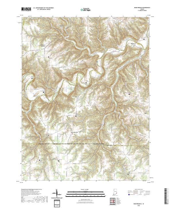
2022 Map of Bear Branch
USGS Topo · Published 2022About this map
Laughery Creek and its many tributaries, including South Fork Laughery Creek and Hayes Branch, carve a complex drainage pattern through the borderlands of Dearborn, Ohio, and Switzerland counties. This landscape is defined by elevated ridges such as Sangamaw Ridge and Mexico Ridge, where small rural settlements like Farmers Retreat and Bear Branch are situated. The 2022 survey reveals a deeply established network of family and community landmarks, particularly evident in the numerous burial grounds like Saint Johns Lutheran Cem and Mount Hebron Cem. The settlement pattern follows the high ground, with roads like Milton Bear Branch Rd connecting the scattered hamlets. This area remains largely defined by its natural topography, with names like Posky Hollow and Baum Hollow indicating the varied elevation of the Indiana countryside.
Find a feature on this map
101 named features on this map. Tap any name to fly to it.
Don’t see what you’re looking for? This feature index may not catch every label — zoom into the map to look around manually.
Map Details
Editions of this 2022 Bear Branch Map
This is the sole edition of this map. No revisions or reprints were ever made.
Other maps of this area

1915 · Lawrenceburg
USGS Topo · 1:48,000

1928 · Lawrenceburg
USGS Topo · 1:62,500

1932 · Lawrenceburg
USGS Topo · 1:62,500

1943 · Florence
USGS Topo · 1:24,000

1943 · Aberdeen
USGS Topo · 1:24,000

1943 · Aurora
USGS Topo · 1:24,000

1943 · Vevay North
USGS Topo · 1:24,000

1946 · Milan
USGS Topo · 1:24,000

1951 · Florence
USGS Topo · 1:24,000

1953 · Aberdeen
USGS Topo · 1:24,000