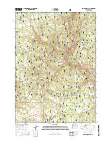
2014 Map of Bear Canyon Butte
USGS Topo · Published 2014About this map
Bear Canyon Butte and Emigrant Butte define the high terrain of this remote Oregon landscape, which is split between the Malhuer National Forest and the Ochoco National Forest. The geography is characterized by an intricate network of drainages and critical water sources essential for livestock and wildlife, such as Dipping Vat Spring, Beaver Rock Spring, and Foundation Spring. The concentration of springs and reservoirs, including the Buck Spring Reservoir, suggests a history of range management and seasonal grazing. Primitive forest roads like Lost Guard Rd and Buck Board Rd wind through the canyons, connecting landmarks such as Cow Canyon and Cow Hollow. This map documents a quiet corner of Harney County where the names of creeks and springs, like Buckboard Cr and Lost Guard Cr, reflect the working history of the High Desert forest lands.
Find a feature on this map
52 named features on this map. Tap any name to fly to it.
Don’t see what you’re looking for? This feature index may not catch every label — zoom into the map to look around manually.
Map Details
Editions of this 2014 Bear Canyon Butte Map
This is the sole edition of this map. No revisions or reprints were ever made.
Other maps of this area

1955 · Burns
USGS Topo · 1:250,000

1958 · Burns
USGS Topo · 1:250,000

1959 · Burns
USGS Topo · 1:250,000

1959 · Sawtooth Creek
USGS Topo · 1:62,500

1961 · Delintment Lake
USGS Topo · 1:62,500
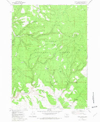
1981 · Egypt Canyon
USGS Topo · 1:24,000
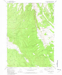
1981 · Holmes Canyon
USGS Topo · 1:24,000
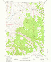
1982 · Dry Mountain
USGS Topo · 1:24,000
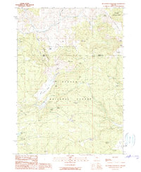
1990 · Big Mowich Mountain
USGS Topo · 1:24,000
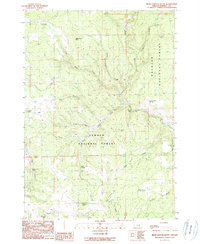
1990 · Bear Canyon Butte
USGS Topo · 1:24,000