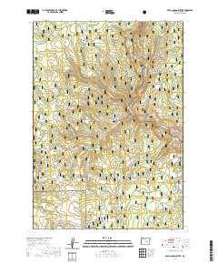
2020 Map of Bear Canyon Butte
USGS Topo · Published 2020About this map
Bear Canyon Butte and Emigrant Butte anchor this high-desert landscape in Harney County, where the high plateaus of the Malheur National Forest and Ochoco National Forest converge. The terrain is defined by a dense network of seasonal drainages and essential water sources, reflecting the critical role of moisture in this arid region. Significant water features such as Buck Spring Reservoir and isolated points like Beaver Rock Spring and Garrett Basin Spring suggest a history of range management and livestock grazing. Named canyons and hollows, including Cow Canyon and Cow Hollow, further indicate the area's agricultural utility. Notable waterways like Little Emigrant Cr, Ratler Cr, and Spring Canyon Cr carve through the topography, creating the distinct relief seen between the forest boundaries.
Find a feature on this map
36 named features on this map. Tap any name to fly to it.
Don’t see what you’re looking for? This feature index may not catch every label — zoom into the map to look around manually.
Map Details
Editions of this 2020 Bear Canyon Butte Map
This is the sole edition of this map. No revisions or reprints were ever made.
Other maps of this area

1955 · Burns
USGS Topo · 1:250,000

1958 · Burns
USGS Topo · 1:250,000

1959 · Burns
USGS Topo · 1:250,000

1959 · Sawtooth Creek
USGS Topo · 1:62,500

1961 · Delintment Lake
USGS Topo · 1:62,500
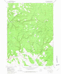
1981 · Egypt Canyon
USGS Topo · 1:24,000
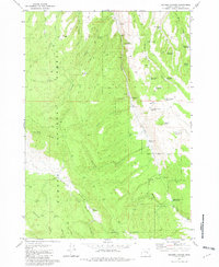
1981 · Holmes Canyon
USGS Topo · 1:24,000
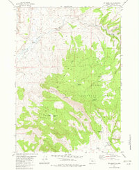
1982 · Dry Mountain
USGS Topo · 1:24,000
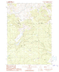
1990 · Big Mowich Mountain
USGS Topo · 1:24,000
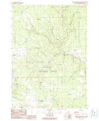
1990 · Bear Canyon Butte
USGS Topo · 1:24,000