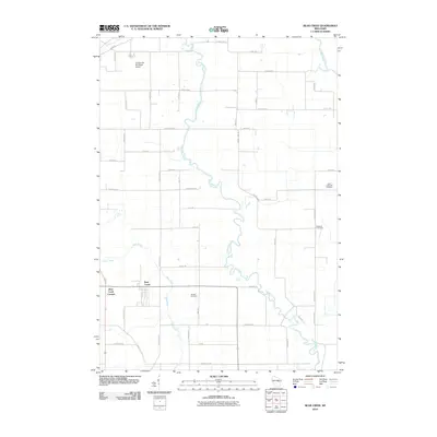
2010 Map of Bear Creek
USGS Topo · Published 2010About this map
The Embarrass River meanders sharply through this rural Wisconsin landscape, defining the character of the terrain between the settlements of Bear Creek and Bear Creek Corners. Located in a region shaped by agricultural tradition, the map reveals a network of country roads such as County Hwy-D and Deer Creek Rd that connect family farms to local centers of community and memory. Local history is anchored by several burial grounds, including Saint Catherine Cemetery, Restland Cemetery, and the Danish Cemetery, which serve as quiet markers of the area's diverse ethnic heritage. In the northern reaches, the Clintonville Municipal Airport introduces a modern utility to the area, while the Wolf River and Silver Creek provide essential drainage and natural borders for the surrounding townships. The intricate oxbows of the Embarrass River suggest a low-lying, water-rich environment that has long influenced local land use and transportation patterns.
Find a feature on this map
46 named features on this map. Tap any name to fly to it.
Don’t see what you’re looking for? This feature index may not catch every label — zoom into the map to look around manually.
Map Details
Editions of this 2010 Bear Creek Map
This is the sole edition of this map. No revisions or reprints were ever made.
Other maps of this area

1955 · Embarrass
USGS Topo · 1:48,000

1955 · Clintonville
USGS Topo · 1:48,000

1955 · Green Bay
USGS Topo · 1:250,000

1956 · New London
USGS Topo · 1:48,000

1956 · Weyauwega
USGS Topo · 1:48,000

1969 · New London
USGS Topo · 1:24,000

1969 · Northport
USGS Topo · 1:24,000

1969 · Leeman
USGS Topo · 1:24,000

1969 · Embarrass
USGS Topo · 1:24,000

1969 · Lunds
USGS Topo · 1:24,000