
1969 Map of Northport
USGS Topo · Published 1971About this map
The Little Wolf River meanders through the townships of Lebanon, Royalton, and Mukwa in this late 1960s survey of eastern Waupaca County. The river's winding course is marked by distinct riparian features like Shirttail Bend and the sprawling wetlands of the Mukwa State Wildlife Area. This period shows a landscape defined by small rural hubs and agrarian infrastructure, where the Green Bay and Western railroad tracks parallel the river valley, connecting the settlements of Royalton and Northport toward the western edge of New London. Local genealogy is well-represented through institutions like St Patrick Ch, the Maple Hill Sch, and the Ostrander Northport Cem. The map also documents recreational and industrial footprints of the era, from the Vic-To-Rae Camp to numerous Gravel Pits and the winding paths of Stage Road and Beyer Road.
Find a feature on this map
63 named features on this map. Tap any name to fly to it.
Don’t see what you’re looking for? This feature index may not catch every label — zoom into the map to look around manually.
Map Details
Editions of this 1969 Northport Map
This is the sole edition of this map. No revisions or reprints were ever made.
Other maps of this area

1955 · Embarrass
USGS Topo · 1:48,000

1955 · Clintonville
USGS Topo · 1:48,000

1955 · Green Bay
USGS Topo · 1:250,000

1956 · New London
USGS Topo · 1:48,000

1956 · Weyauwega
USGS Topo · 1:48,000

1969 · New London
USGS Topo · 1:24,000

1969 · Readfield
USGS Topo · 1:24,000
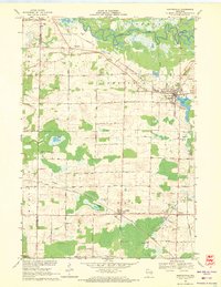
1969 · Hortonville
USGS Topo · 1:24,000

1969 · Bear Creek
USGS Topo · 1:24,000
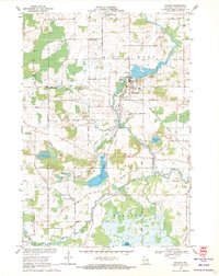
1969 · Manawa
USGS Topo · 1:24,000