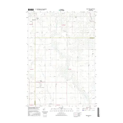
2016 Map of Bear Creek
USGS Topo · Published 2016About this map
The Embarrass River snakes through the center of this landscape, defining the rural geography of the Waupaca and Outagamie border. This modern survey illustrates the settlement patterns of central Wisconsin, anchored by the city of Clintonville in the northwest and the village of Bear Creek to the south. The transition from industrial aviation at the Clintonville Municipal Airport to the smaller Schewe Airport highlights the region's diverse infrastructure.
Find a feature on this map
69 named features on this map. Tap any name to fly to it.
Don’t see what you’re looking for? This feature index may not catch every label — zoom into the map to look around manually.
Map Details
Editions of this 2016 Bear Creek Map
This is the sole edition of this map. No revisions or reprints were ever made.
Other maps of this area

1955 · Embarrass
USGS Topo · 1:48,000

1955 · Clintonville
USGS Topo · 1:48,000

1955 · Green Bay
USGS Topo · 1:250,000

1956 · New London
USGS Topo · 1:48,000

1956 · Weyauwega
USGS Topo · 1:48,000

1969 · New London
USGS Topo · 1:24,000

1969 · Northport
USGS Topo · 1:24,000

1969 · Leeman
USGS Topo · 1:24,000

1969 · Embarrass
USGS Topo · 1:24,000

1969 · Lunds
USGS Topo · 1:24,000