2022 Map of Bear Creek
USGS Topo · Published 2022About this map
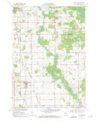
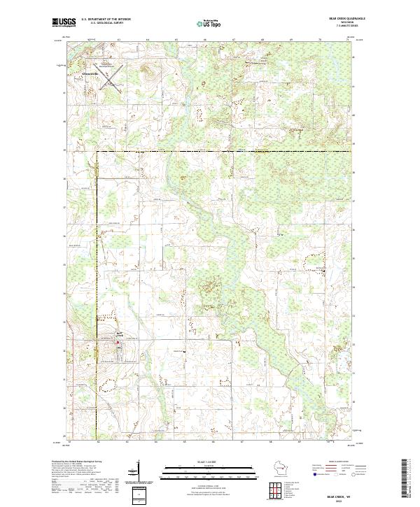
The Embarrass River meanders through this agricultural landscape at the border of Waupaca and Outagamie counties, supporting a network of small settlements and rural infrastructure. In the village of Bear Creek, the local grid is defined by Railroad Ave and Bear Cr, while to the northwest, the city of Clintonville serves as a local hub near the Pigeon River. The terrain is marked by the presence of the Clintonville Municipal Airport and the smaller Schewe Airport, reflecting the region's light aviation history.
Find a feature on this map
66 named features on this map. Tap any name to fly to it.
Don’t see what you’re looking for? This feature index may not catch every label — zoom into the map to look around manually.
Map Details
Editions of this 2022 Bear Creek Map
This is the sole edition of this map. No revisions or reprints were ever made.