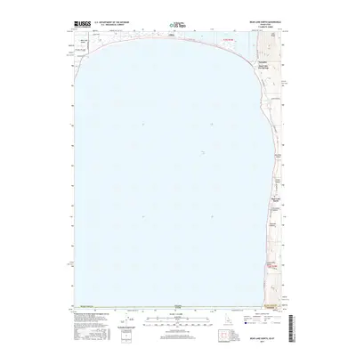
2017 Map of Bear Lake North
USGS Topo · Published 2017About this map
Bear Lake dominates this northern Idaho-Utah borderlands survey, defining the geography of the high valley. Along the northeastern shore, Bear Lake Hot Springs marks a historic point of interest where the waters met the steep rise of Lake Ridge. To the northwest, the settlement of Lifton sits near the hydraulic interface of the main lake and Mud Lake, an area characterized by the transition between deep water and the marshy northern flats of Bear Lake Valley.
Find a feature on this map
25 named features on this map. Tap any name to fly to it.
Don’t see what you’re looking for? This feature index may not catch every label — zoom into the map to look around manually.
Map Details
Editions of this 2017 Bear Lake North Map
This is the sole edition of this map. No revisions or reprints were ever made.
Other maps of this area

1909 · Montpelier
USGS Topo · 1:125,000

1911 · Montpelier
USGS Topo · 1:125,000

1912 · Randolph
USGS Topo · 1:125,000

1954 · Ogden
USGS Topo · 1:250,000

1955 · Preston
USGS Topo · 1:250,000

1958 · Ogden
USGS Topo · 1:250,000

1958 · Preston
USGS Topo · 1:250,000

1960 · Ogden
USGS Topo · 1:250,000

1962 · Preston
USGS Topo · 1:250,000

1967 · Paris
USGS Topo · 1:24,000