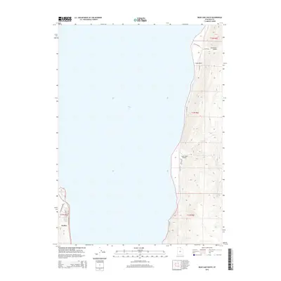
2014 Map of Bear Lake South
USGS Topo · Published 2014About this map
Bear Lake dominates this 2014 survey, which highlights the eastern and southwestern shorelines within Rich County. The eastern shore is characterized by steep slopes and deep ravines, most notably North Eden Canyon and South Eden Canyon. This side of the lake is primarily accessed by N Cisco Rd, leading to the recreational area at Cisco Beach. The drainage patterns here are distinct, with Little Cr and Cottonwood Cr cutting through the highlands toward the water.
Find a feature on this map
36 named features on this map. Tap any name to fly to it.
Don’t see what you’re looking for? This feature index may not catch every label — zoom into the map to look around manually.
Map Details
Editions of this 2014 Bear Lake South Map
This is the sole edition of this map. No revisions or reprints were ever made.
Other maps of this area

1909 · Montpelier
USGS Topo · 1:125,000

1911 · Montpelier
USGS Topo · 1:125,000

1912 · Randolph
USGS Topo · 1:125,000

1954 · Ogden
USGS Topo · 1:250,000

1955 · Preston
USGS Topo · 1:250,000

1958 · Ogden
USGS Topo · 1:250,000

1958 · Preston
USGS Topo · 1:250,000

1960 · Ogden
USGS Topo · 1:250,000

1962 · Preston
USGS Topo · 1:250,000

1969 · Sheeppen Creek
USGS Topo · 1:24,000