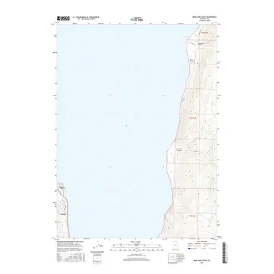
2017 Map of Bear Lake South
USGS Topo · Published 2017About this map
Bear Lake dominates this 2017 survey, defining the eastern and western shorelines where Rich County settlements have long centered. On the western edge, Garden City and the neighboring settlement of Garden serve as focal points for local development along Bear Lake Blvd. The terrain rises sharply on the eastern shore, where the steep topography of North Eden Canyon and South Eden Canyon overlooks the water. This eastern shoreline is traversed by N Cisco Rd, providing access to landmarks such as Cisco Beach. Inland from the lake, the landscape is marked by natural water sources like Rock Spring and small drainages including Little Cr and Cottonwood Cr, illustrating the transition from the high-altitude lake basin to the surrounding mountain draws.
Find a feature on this map
19 named features on this map. Tap any name to fly to it.
Don’t see what you’re looking for? This feature index may not catch every label — zoom into the map to look around manually.
Map Details
Editions of this 2017 Bear Lake South Map
This is the sole edition of this map. No revisions or reprints were ever made.
Other maps of this area

1909 · Montpelier
USGS Topo · 1:125,000

1911 · Montpelier
USGS Topo · 1:125,000

1912 · Randolph
USGS Topo · 1:125,000

1954 · Ogden
USGS Topo · 1:250,000

1955 · Preston
USGS Topo · 1:250,000

1958 · Ogden
USGS Topo · 1:250,000

1958 · Preston
USGS Topo · 1:250,000

1960 · Ogden
USGS Topo · 1:250,000

1962 · Preston
USGS Topo · 1:250,000

1969 · Sheeppen Creek
USGS Topo · 1:24,000