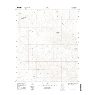
2013 Map of Bear Mountain
USGS Topo · Published 2013About this map
Bear Mtn and the Mule Mountains anchor this high-desert landscape in Grant County, where the terrain is defined by a complex network of seasonal drainages and canyons. The map documents a rugged cattle-country environment where water management is critical, evidenced by features such as Mallet Pond, the Lower Goat Canyon Tank, and the Upper Goat Canyon Tank. These small reservoirs, often used for livestock, sit at the base of steep slopes including Henderson Canyon and Mud Spring Canyon.
Find a feature on this map
26 named features on this map. Tap any name to fly to it.
Don’t see what you’re looking for? This feature index may not catch every label — zoom into the map to look around manually.
Map Details
Editions of this 2013 Bear Mountain Map
This is the sole edition of this map. No revisions or reprints were ever made.
Other maps of this area

1910 · Mogollon
USGS Topo · 1:125,000

1912 · Mogollon
USGS Topo · 1:125,000

1954 · Silver City
USGS Topo · 1:250,000

1954 · Clifton
USGS Topo · 1:250,000

1957 · Clifton
USGS Topo · 1:250,000

1958 · Silver City
USGS Topo · 1:250,000

1958 · Clifton
USGS Topo · 1:250,000

1959 · Steeple Rock
USGS Topo · 1:62,500

1959 · Cliff
USGS Topo · 1:62,500

1962 · Silver City
USGS Topo · 1:250,000