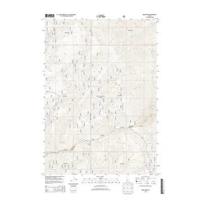
2013 Map of Bear River
USGS Topo · Published 2013About this map
The Bear River flows through the high-elevation canyonlands of the Boise National Forest in this 2013 topographic study. This area of Idaho, straddling the Boise County and Elmore County line, is defined by its dramatic drainage networks. The North Fork Boise River serves as the primary waterway in the southern section, where the FH 327 (Forest Highway 327) provides the main corridor for access.
Find a feature on this map
32 named features on this map. Tap any name to fly to it.
Don’t see what you’re looking for? This feature index may not catch every label — zoom into the map to look around manually.
Map Details
Editions of this 2013 Bear River Map
This is the sole edition of this map. No revisions or reprints were ever made.
Other maps of this area

1891 · Bear Valley
USGS Topo · 1:125,000

1893 · Bear Valley
USGS Topo · 1:125,000

1894 · Idaho Basin
USGS Topo · 1:125,000

1894 · Rocky Bar
USGS Topo · 1:125,000

1909 · Garden Valley
USGS Topo · 1:125,000

1955 · Hailey
USGS Topo · 1:250,000

1957 · Challis
USGS Topo · 1:250,000

1959 · Hailey
USGS Topo · 1:250,000

1960 · Challis
USGS Topo · 1:250,000

1962 · Hailey
USGS Topo · 1:250,000