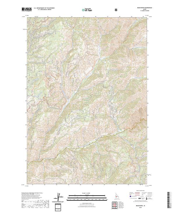
2023 Map of Bear River
USGS Topo · Published 2023About this map
The North Fork Boise River serves as the primary drainage and geographical anchor for this section of the Boise National Forest. Located along the high-elevation boundary between Boise Co and Elmore Co, the landscape is defined by the meeting of several significant waterways, including the Crooked River and Bear River. This modern survey illustrates a network of remote forest access routes such as Bear River Trl and various spurs, reflecting contemporary land management and recreation patterns. Prominent terrain features like Bear Summit and Swanholm Ridge rise above a dense system of seasonal and perennial creeks, including the uniquely named Horse Heaven Creek and Robert E Lee Creek. The map documents how these ancient corridors, many following original trail routes like the Owl Creek-Bear Creek path, continue to facilitate movement through the Idaho wilderness.
Find a feature on this map
46 named features on this map. Tap any name to fly to it.
Don’t see what you’re looking for? This feature index may not catch every label — zoom into the map to look around manually.
Map Details
Editions of this 2023 Bear River Map
This is the sole edition of this map. No revisions or reprints were ever made.
Other maps of this area

1891 · Bear Valley
USGS Topo · 1:125,000

1893 · Bear Valley
USGS Topo · 1:125,000

1894 · Idaho Basin
USGS Topo · 1:125,000

1894 · Rocky Bar
USGS Topo · 1:125,000

1909 · Garden Valley
USGS Topo · 1:125,000

1955 · Hailey
USGS Topo · 1:250,000

1957 · Challis
USGS Topo · 1:250,000

1959 · Hailey
USGS Topo · 1:250,000

1960 · Challis
USGS Topo · 1:250,000

1962 · Hailey
USGS Topo · 1:250,000