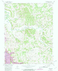
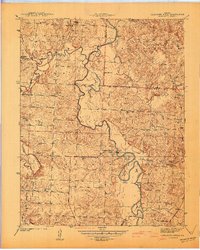
1956 Map of Bearcreek
USGS Topo · Published 1982About this map
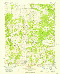
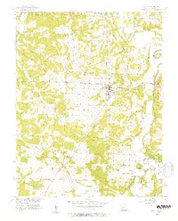
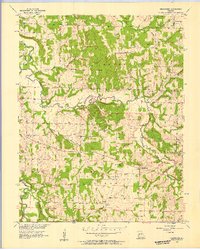
Bearcreek serves as the focal point for this rural landscape in Cedar and Polk Counties, where the mid-century terrain was defined by a dense network of country churches and small waterways. The geography is marked by the winding Little Sac River and the subsequent formation of Stockton Lake, which significantly altered the local topography near Indian Ridge. Community life is anchored by numerous landmarks, including Friendship Community Hall and several distinct congregations such as Lindley Prairie Ch and Forest Home Ch.
Find a feature on this map
27 named features on this map. Tap any name to fly to it.
Don’t see what you’re looking for? This feature index may not catch every label — zoom into the map to look around manually.
Map Details
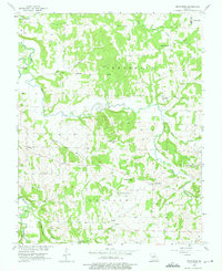
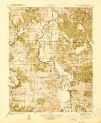
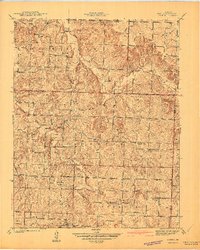
Editions of this 1956 Bearcreek Map
3 editions found
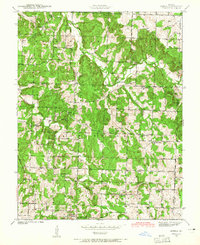
Other maps of this area

1886 · Stockton
USGS Topo · 1:125,000
1939 · Caplinger Mills
USGS Topo · 1:24,000
1939 · Arnica
USGS Topo · 1:24,000
1941 · Caplinger Mills
USGS Topo · 1:24,000
1941 · Arnica
USGS Topo · 1:24,000

1944 · Humansville
USGS Topo · 1:24,000

1954 · Springfield
USGS Topo · 1:250,000
1956 · Fair Play
USGS Topo · 1:24,000
1956 · Stockton
USGS Topo · 1:24,000
1956 · Bearcreek
USGS Topo · 1:24,000