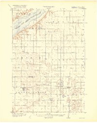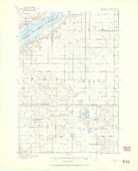
1916 Map of Beardsley
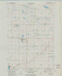
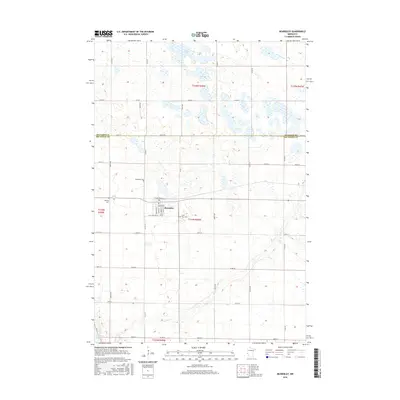
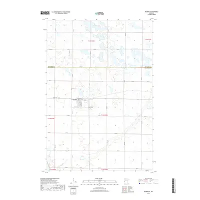
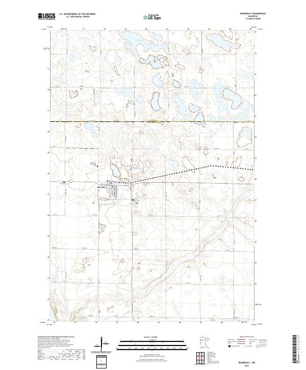
USGS Topo · Published 1968About this map
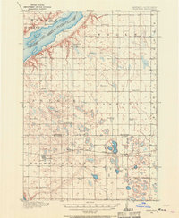
Beardsley and the surrounding prairie landscape of Big Stone County appear here during a period of established rural education and rail-based commerce. The Great Northern (Browns Valley Line) cuts across the southern portion of the sheet, providing a vital link for the villages of Beardsley and Barry. The landscape is notably defined by its dense network of rural schoolhouses, including Avery School, Wyman School, and Twingrove School, reflecting the decentralized settlement patterns of early 20th-century Minnesota. To the northwest, the map captures the southern tip of Lake Traverse along the South Dakota border, where landmarks like Dakomin and Diamond sit near the water. The presence of features like Round Mound and various sloughs suggests a glacial terrain that dictated the placement of farms and the winding path of Fish Creek.
Find a feature on this map
39 named features on this map. Tap any name to fly to it.
Don’t see what you’re looking for? This feature index may not catch every label — zoom into the map to look around manually.
Map Details
Editions of this 1916 Beardsley Map
2 editions found
Historical Maps of Beardsley Through Time
8 maps found