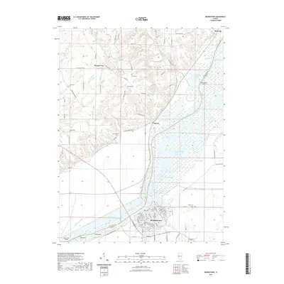
2021 Map of Beardstown
USGS Topo · Published 2021About this map
The Illinois River dominates the center of this quadrangle, forming a natural boundary between Schuyler and Cass counties. On its eastern bank, the river city of Beardstown is shown with its detailed street grid, while the smaller settlements of Frederick and Pleasant View sit on the western side. The hydrology of the river bottomlands is remarkably complex, characterized by features like Muscooten Bay, Treadway Lake Boujan Swale, and the winding course of the Sangamon River as it approaches its confluence.
Find a feature on this map
110 named features on this map. Tap any name to fly to it.
Don’t see what you’re looking for? This feature index may not catch every label — zoom into the map to look around manually.
Map Details
Editions of this 2021 Beardstown Map
This is the sole edition of this map. No revisions or reprints were ever made.
Other maps of this area

1923 · Rushville
USGS Topo · 1:62,500

1926 · Beardstown
USGS Topo · 1:62,500

1926 · Rushville
USGS Topo · 1:62,500

1928 · Meredosia
USGS Topo · 1:62,500

1929 · Arenzville
USGS Topo · 1:62,500

1931 · Meredosia
USGS Topo · 1:62,500

1932 · Arenzville
USGS Topo · 1:62,500

1944 · Beardstown
USGS Topo · 1:62,500

1948 · Quincy
USGS Topo · 1:250,000

1956 · Quincy
USGS Topo · 1:250,000