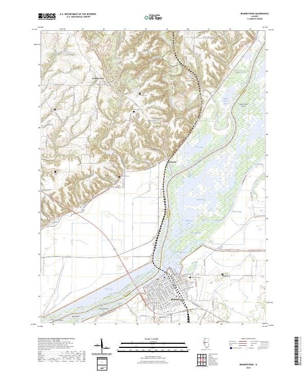
2024 Map of Beardstown
USGS Topo · Published 2024About this map
The Illinois River dominates this landscape as it flows past the city of Beardstown, which sits at the confluence with the Sangamon River. The river system is characterized by a complex network of backwaters and sloughs, including Muscooten Bay, Hager Slough, and Boujan Swale. These waterways define the boundary between Schuyler and Cass counties, with the river historically serving as a critical artery for local commerce and transport.
Find a feature on this map
71 named features on this map. Tap any name to fly to it.
Don’t see what you’re looking for? This feature index may not catch every label — zoom into the map to look around manually.
Map Details
Editions of this 2024 Beardstown Map
This is the sole edition of this map. No revisions or reprints were ever made.
Other maps of this area

1923 · Rushville
USGS Topo · 1:62,500

1926 · Beardstown
USGS Topo · 1:62,500

1926 · Rushville
USGS Topo · 1:62,500

1928 · Meredosia
USGS Topo · 1:62,500

1929 · Arenzville
USGS Topo · 1:62,500

1931 · Meredosia
USGS Topo · 1:62,500

1932 · Arenzville
USGS Topo · 1:62,500

1944 · Beardstown
USGS Topo · 1:62,500

1948 · Quincy
USGS Topo · 1:250,000

1956 · Quincy
USGS Topo · 1:250,000