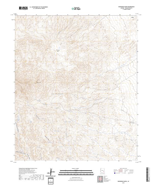
2023 Map of Beargrass Basin
USGS Topo · Published 2023About this map
The Santa Teresa Mountains dominate this high-desert landscape, defined by a complex network of canyons and perennial water sources. At the northern edge, the settlement of Bylas sits near the base of the mountains, while the interior is marked by significant topographical landmarks like Beargrass Basin and Bates Draw. The distribution of water is a critical element of this terrain, evidenced by numerous named springs such as Willow Spring, Pace Spring, and Dutch Cabin Spring that likely served as vital points for ranching or early travel.
Find a feature on this map
36 named features on this map. Tap any name to fly to it.
Don’t see what you’re looking for? This feature index may not catch every label — zoom into the map to look around manually.
Map Details
Editions of this 2023 Beargrass Basin Map
This is the sole edition of this map. No revisions or reprints were ever made.
Other maps of this area

1938 · Klondyke
USGS Topo · 1:48,000

1943 · Klondyke
USGS Topo · 1:62,500

1944 · Jackson Mtn.
USGS Topo · 1:62,500

1946 · Jackson Mtn.
USGS Topo · 1:62,500

1954 · Mesa
USGS Topo · 1:250,000

1956 · Tucson
USGS Topo · 1:250,000

1957 · Mesa
USGS Topo · 1:250,000

1958 · Mesa
USGS Topo · 1:250,000

1958 · Tucson
USGS Topo · 1:250,000

1959 · Tucson
USGS Topo · 1:250,000