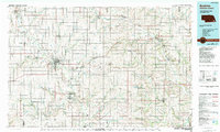
1986 Map of Beatrice
USGS Topo · Published 1994About this map
The Homestead National Monument of America stands as a central historical landmark in this mid-1980s landscape, marking the site where Daniel Freeman made one of the first claims under the Homestead Act. The city of Beatrice serves as the regional hub, situated at the confluence of the Big Blue River and a dense network of rail lines including the Burlington Northern, Union Pacific, and Missouri Pacific.
Find a feature on this map
113 named features on this map. Tap any name to fly to it.
Don’t see what you’re looking for? This feature index may not catch every label — zoom into the map to look around manually.
Map Details
Editions of this 1986 Beatrice Map
2 editions found

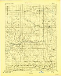
Other maps of this area

1888 · Hiawatha
USGS Topo · 1:125,000

1889 · Seneca
USGS Topo · 1:125,000

1889 · Marysville
USGS Topo · 1:125,000

1893 · Washington
USGS Topo · 1:125,000
1894 · Seneca
USGS Topo · 1:125,000

1894 · Hiawatha
USGS Topo · 1:125,000

1894 · Marysville
USGS Topo · 1:125,000
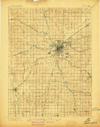
1897 · Lincoln
USGS Topo · 1:125,000

1903 · Weeping Water
USGS Topo · 1:125,000
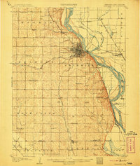
1907 · Nebraska City
USGS Topo · 1:62,500