
Historical Maps of Jefferson County, Nebraska
What stories do these 27 old maps tell about Jefferson County's past? From 1955 to present day, these maps reveal the evolution of streets, neighborhoods, iconic landmarks, and natural features in stunning high-res detail. Whether you're a history enthusiast, genealogist, or professional in education, environmental work, or architecture, these maps are perfect for exploration, research, and discovery.
Discover Jefferson County's history through maps:
- Trace Jefferson County's growth: Explore earlier and latest maps and editions to uncover how the region changed over time.
- Examine technical details: Each map includes its creators, publishers, scale, dimensions, and full source information.
- Layer maps with modern tools & imagery: Compare historical maps to modern-day with high-resolution satellite imagery and detailed LiDAR layers.
- Sourced from trusted archives: Carefully preserved and digitized by institutions like the United Stated Geological Survey and the US Library of Congress.
- Access in any format: View and explore in high resolution, download for offline use, or order a museum-quality print for yourself or a loved one.
Begin your journey into Jefferson County's history with these remarkable must-see maps.
Jefferson County, NE maps
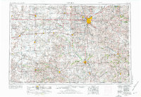
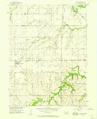
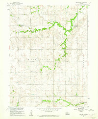
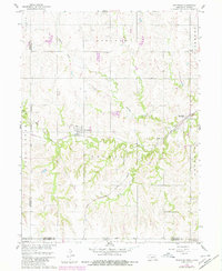
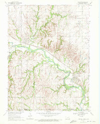
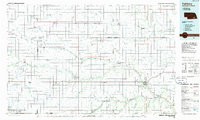
(27)- 1955 Map of Lincoln, 1967 Print
 1955 Lincoln1967 Print · USGSCovers Jefferson County, including Lincoln, Beatrice, and other nearby areas
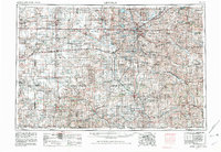
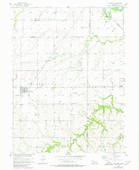
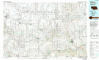
 - 1955 Map of Lincoln, 1976 Print
 1955 Lincoln1976 Print · USGSCovers Jefferson County, including Lincoln, Beatrice, and other nearby areas
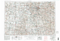
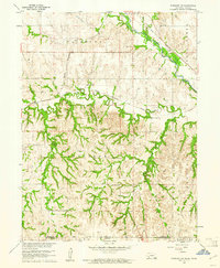
 - 1955 Map of Lincoln, 1982 Print
 1955 Lincoln1982 Print · USGSCovers Jefferson County, including Lincoln, Beatrice, and other nearby areas
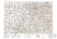
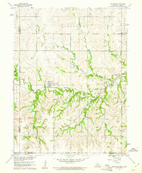
 - 1955 Map of Lincoln, 1982 Print
 1955 Lincoln1982 Print · USGSCovers Jefferson County, including Lincoln, Beatrice, and other nearby areas
 - 1955 Map of Lincoln, 1986 Print
 1955 Lincoln1986 Print · USGSCovers Jefferson County, including Lincoln, Beatrice, and other nearby areas
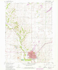
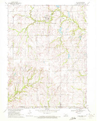
 - 1957 Map of Lincoln
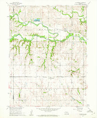
 1957 Lincoln1957 Print · USGSCovers Jefferson County, including Lincoln, Beatrice, and other nearby areas
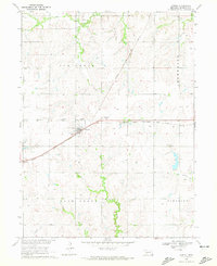
 - 1957 Map of Plymouth, 1958 Print
 1957 Plymouth1958 Print · USGSCovers Jefferson County, including Plymouth, Gage County, and other nearby areas
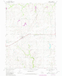
 - 1957 Map of Plymouth, 1980 Print
 1957 Plymouth1980 Print · USGSCovers Jefferson County, including Plymouth, Gage County, and other nearby areas
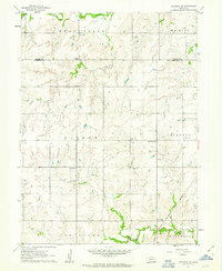
 - 1958 Map of Lincoln
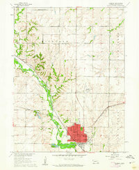
 1958 Lincoln1958 Print · USGSCovers Jefferson County, including Lincoln, Beatrice, and other nearby areas
 - 1960 Map of Fairbury SW, 1961 Print
 1960 Fairbury SW1961 Print · USGSCovers Jefferson County, including Washington County, United States, and other nearby areas
 - 1960 Map of Reynolds, 1961 Print
 1960 Reynolds1961 Print · USGSCovers Jefferson County, including Reynolds, Thompson, and other nearby areas
 - 1960 Map of Western SW, 1962 Print
 1960 Western SW1962 Print · USGSCovers Jefferson County, including Saline County, United States, and other nearby areas
 - 1960 Map of Fairbury, 1962 Print
 1960 Fairbury1962 Print · USGSCovers Jefferson County, including Fairbury, Hedrix, and other nearby areas
 - 1960 Map of Gladstone, 1962 Print
 1960 Gladstone1962 Print · USGSCovers Jefferson County, including Gladstone, Powell, and other nearby areas
 - 1960 Map of Daykin, 1962 Print
 1960 Daykin1962 Print · USGSCovers Jefferson County, including Daykin, Helvey, and other nearby areas
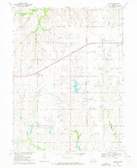
 - 1960 Map of Reynolds, 1980 Print
 1960 Reynolds1980 Print · USGSCovers Jefferson County, including Reynolds, Thompson, and other nearby areas
 - 1960 Map of Fairbury, 1980 Print
 1960 Fairbury1980 Print · USGSCovers Jefferson County, including Fairbury, Hedrix, and other nearby areas
 - 1961 Map of Western SE, 1963 Print
 1961 Western SE1963 Print · USGSCovers Jefferson County, including Saline County, United States, and other nearby areas
 - 1970 Map of Harbine, 1972 Print
 1970 Harbine1972 Print · USGSCovers Jefferson County, including Harbine, Ellis, and other nearby areas
 - 1970 Map of Endicott, 1972 Print
 1970 Endicott1972 Print · USGSCovers Jefferson County, including Endicott, Steele City, and other nearby areas
 - 1970 Map of Diller, 1972 Print
 1970 Diller1972 Print · USGSCovers Jefferson County, including Diller, Gage County, and other nearby areas
 - 1970 Map of Jansen, 1972 Print
 1970 Jansen1972 Print · USGSCovers Jefferson County, including Jansen, United States, and other nearby areas
 - 1970 Map of Jansen, 1980 Print
 1970 Jansen1980 Print · USGSCovers Jefferson County, including Jansen, United States, and other nearby areas
 - 1985 Map of Fairbury
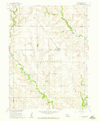
 1985 Fairbury1985 Print · USGSCovers Jefferson County, including Fairbury, Hebron, and other nearby areas
 - 1985 Map of Fairbury, 1994 Print
 1985 Fairbury1994 Print · USGSCovers Jefferson County, including Fairbury, Hebron, and other nearby areas
Showing maps 1-25 of 27
Top cities in Jefferson County
- Fairbury historical maps
- Plymouth historical maps
- Diller historical maps
- Daykin historical maps
- Jansen historical maps
- Endicott historical maps
See more
Frequently asked questions
- What are the different types of historical maps available for Jefferson County?
- What is the oldest map of Jefferson County?
- Where can I purchase historical maps of Jefferson County for my home or office?
- Where can I download high-res historical maps of Jefferson County?
- Are there historical topographic maps available for Jefferson County?
- Is there historical aerial imagery available for Jefferson County?
- Where are historical maps of Jefferson County sourced from?