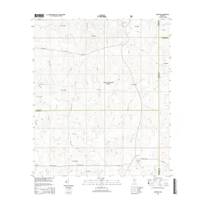
2015 Map of Beatrice
USGS Topo · Published 2015About this map
DeSoto National Forest covers the majority of this landscape, where the borders of Stone, Harrison, George, and Jackson counties converge. The area is defined by a dense network of watercourses including Tuxachanie Cr and Little Red Creek, which carve through the piney woods. Human activity is centered on small settlements like Beatrice and Dantzler, with long-established family sites represented by Broadus Cem and Walker Cem. Transportation follows historical corridors such as Wire Road E and Cable Bridge Rd, indicating a terrain where creek crossings and logging routes dictated the local geography. The map reveals the intricate drainage patterns of the coastal plain, shown through features like Hurricane Bay Br and Butt Head Br.
Find a feature on this map
49 named features on this map. Tap any name to fly to it.
Don’t see what you’re looking for? This feature index may not catch every label — zoom into the map to look around manually.
Map Details
Editions of this 2015 Beatrice Map
This is the sole edition of this map. No revisions or reprints were ever made.
Other maps of this area

1947 · Wiggins
USGS Topo · 1:62,500

1947 · Benndale
USGS Topo · 1:62,500

1949 · Wiggins
USGS Topo · 1:62,500

1949 · Benndale
USGS Topo · 1:62,500

1953 · Mobile
USGS Topo · 1:250,000

1954 · Vestry
USGS Topo · 1:62,500

1954 · McHenry
USGS Topo · 1:62,500

1957 · Mobile
USGS Topo · 1:250,000

1960 · Mobile
USGS Topo · 1:250,000

1963 · Mobile
USGS Topo · 1:250,000