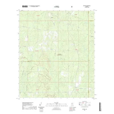
2021 Map of Beatrice
USGS Topo · Published 2021About this map
De Soto National Forest dominates the landscape of this southern Mississippi survey, where the borders of Harrison, Jackson, Stone, and George counties converge. The area around the small settlements of Beatrice and Dantzler is characterized by an intricate network of waterways, including Hurricane Creek and Beaver Dam Branch, which flow through heavily wooded sections and pine stands. The transport infrastructure is a mix of historical routes like Wire Road East and modern recreational paths, such as the Tuxachanie Hiking Trail. Genealogists and local historians will find several family-named burial grounds preserved in this terrain, notably Walker Cem, Broadus Cem, and Ramsey Cem. The presence of labels like Little Railroad Cr and Railroad Cr suggests the enduring influence of the timber and rail industries on the regional geography.
Find a feature on this map
65 named features on this map. Tap any name to fly to it.
Don’t see what you’re looking for? This feature index may not catch every label — zoom into the map to look around manually.
Map Details
Editions of this 2021 Beatrice Map
This is the sole edition of this map. No revisions or reprints were ever made.
Other maps of this area

1947 · Wiggins
USGS Topo · 1:62,500

1947 · Benndale
USGS Topo · 1:62,500

1949 · Wiggins
USGS Topo · 1:62,500

1949 · Benndale
USGS Topo · 1:62,500

1953 · Mobile
USGS Topo · 1:250,000

1954 · Vestry
USGS Topo · 1:62,500

1954 · McHenry
USGS Topo · 1:62,500

1957 · Mobile
USGS Topo · 1:250,000

1960 · Mobile
USGS Topo · 1:250,000

1963 · Mobile
USGS Topo · 1:250,000