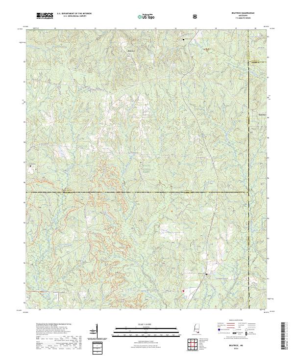
2024 Map of Beatrice
USGS Topo · Published 2024About this map
De Soto National Forest covers much of this landscape in southern Mississippi, where the headwaters of numerous creeks and branches carve through the coastal plain. The settlement of Beatrice serves as a central landmark near the intersection of Cable Bridge Rd and the historic Wire Rd, a route with deep roots in regional communications. Further east, the community of Dantzler sits near the county line, while the southern reaches of the map are defined by a complex network of recreational paths, including the Tuxachanie Hiking Trl and the Bethel Ohv Trail - North Loop Trl. Genealogists will find several family-named burial sites across the territory, such as Walker Cem and Broadus Cem, which highlight the area's early rural habitation. The intricate drainage patterns of Little Red Creek and Hurricane Creek illustrate a terrain dominated by timberland and outdoor recreation.
Find a feature on this map
65 named features on this map. Tap any name to fly to it.
Don’t see what you’re looking for? This feature index may not catch every label — zoom into the map to look around manually.
Map Details
Editions of this 2024 Beatrice Map
This is the sole edition of this map. No revisions or reprints were ever made.
Other maps of this area

1947 · Wiggins
USGS Topo · 1:62,500

1947 · Benndale
USGS Topo · 1:62,500

1949 · Wiggins
USGS Topo · 1:62,500

1949 · Benndale
USGS Topo · 1:62,500

1953 · Mobile
USGS Topo · 1:250,000

1954 · Vestry
USGS Topo · 1:62,500

1954 · McHenry
USGS Topo · 1:62,500

1957 · Mobile
USGS Topo · 1:250,000

1960 · Mobile
USGS Topo · 1:250,000

1963 · Mobile
USGS Topo · 1:250,000