Loading...
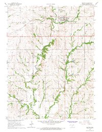
Loading map...1966 Map of Beattie
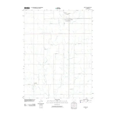
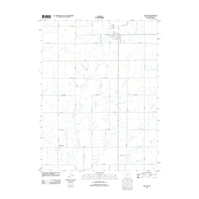
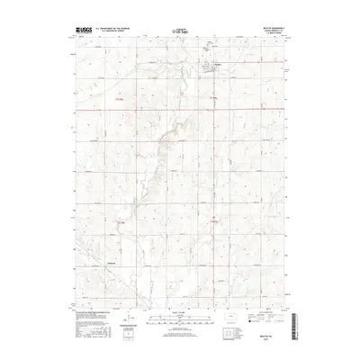
USGS Topo · Published 1967About this map
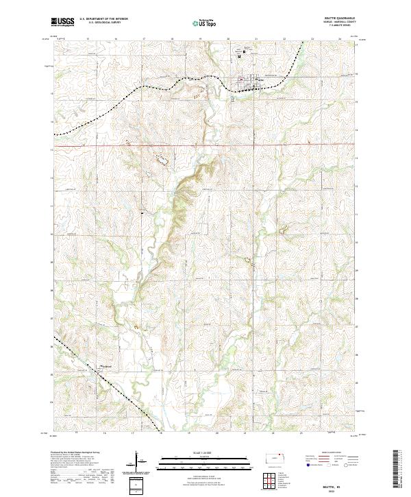
The town of Beattie serves as the focal point of this mid-1960s landscape, situated along the Union Pacific railroad line where it crosses Wolf Creek. The area's social and spiritual foundations are evident in landmarks like St Malachys Ch and the Beattie Union Cem at the northern edge of town. Further south, the smaller settlement of Winifred lies tucked into the southwest corner near the banks of Perkins Creek.
Find a feature on this map
22 named features on this map. Tap any name to fly to it.
Don’t see what you’re looking for? This feature index may not catch every label — zoom into the map to look around manually.
Map Details
Date Portrayed1966
Date Published1967
PublisherU.S. Geological Survey
Map TypeTopographic
Scale1:24,000
Physical Dimensions20.81 x 26.8 inches
Editions of this 1966 Beattie Map
This is the sole edition of this map. No revisions or reprints were ever made.
Historical Maps of Beattie Through Time
6 maps found
Featured Locations
Source Details
SourceU.S. Geological Survey
CopyrightPublic Domain