
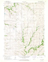
1966 Map of Axtell
USGS Topo · Published 1967About this map
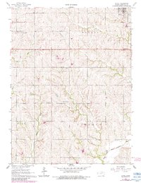
Axtell sits at the northern edge of this Kansas landscape, serving as a hub for the surrounding townships of Guittard, Murray, Rock, and Lincoln. The town is situated along the Union Pacific railroad, which cuts through the northeastern corner. The rolling terrain is drained by a network of waterways, including Timber Creek, Little Timber Creek, and Snipe Creek, all flowing generally south toward the Black Vermillion River and its North Fork.
Find a feature on this map
17 named features on this map. Tap any name to fly to it.
Don’t see what you’re looking for? This feature index may not catch every label — zoom into the map to look around manually.
Map Details
Editions of this 1966 Axtell Map
2 editions found
Other maps of this area

1889 · Seneca
USGS Topo · 1:125,000

1894 · Seneca
USGS Topo · 1:125,000

1955 · Manhattan
USGS Topo · 1:250,000

1956 · Manhattan
USGS Topo · 1:250,000

1957 · Manhattan
USGS Topo · 1:250,000
1966 · Seneca NW
USGS Topo · 1:24,000

1966 · Baileyville
USGS Topo · 1:24,000
1966 · Summerfield
USGS Topo · 1:24,000
1966 · Beattie
USGS Topo · 1:24,000
1966 · Axtell NW
USGS Topo · 1:24,000