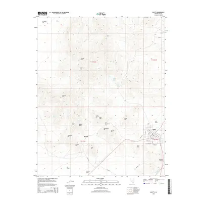
2014 Map of Beatty
USGS Topo · Published 2014About this map
Beatty serves as the gateway to this arid landscape where the Mojave Desert meets the Amargosa Desert. The terrain is defined by a series of volcanic peaks and ridges, including the Bullfrog Hills, Bonanza Mtn, and Rainbow Mtn. Historically significant for its proximity to mining districts, the map details the layout of Rhyolite, positioned along Rhyolite Rd west of the primary settlement. Water sources, vital in this desert environment, are scattered throughout the hills at locations like Mud Springs, Mason Spring, and the clustered Lower Indian Springs. The southern portion of the map follows the Amargosa River as it passes through the Amargosa Narrows, while the town of Beatty shows a developed street grid including W Montgomery St and Knight Ave near the Desert Hill Cemetery.
Find a feature on this map
55 named features on this map. Tap any name to fly to it.
Don’t see what you’re looking for? This feature index may not catch every label — zoom into the map to look around manually.
Map Details
Editions of this 2014 Beatty Map
This is the sole edition of this map. No revisions or reprints were ever made.
Other maps of this area

1908 · Kawich
USGS Topo · 1:250,000

1908 · Furnace Creek
USGS Topo · 1:250,000

1910 · Furnace Creek
USGS Topo · 1:250,000

1942 · Tolicha Peak
USGS Topo · 1:125,000

1942 · Bullfrog
USGS Topo · 1:125,000

1948 · Death Valley
USGS Topo · 1:250,000

1954 · Bare Mtn
USGS Topo · 1:62,500

1954 · Bullfrog
USGS Topo · 1:62,500

1954 · Death Valley
USGS Topo · 1:250,000

1954 · Goldfield
USGS Topo · 1:250,000