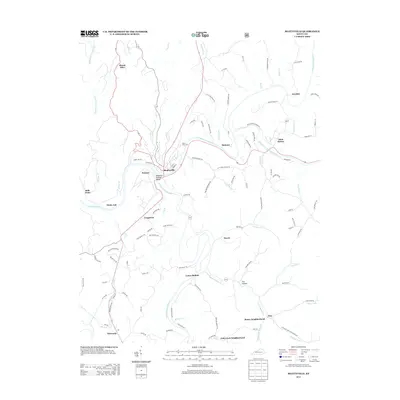
2013 Map of Beattyville
USGS Topo · Published 2013About this map
Beattyville sits at the significant confluence where the North, Middle, and South Forks of the Kentucky River meet, anchoring this survey of Lee County. The settlement pattern follows the intricate winding of the North Fork Kentucky River and South Fork Kentucky River, with established communities like Saint Helens and Proctor positioned along the river bends. The map reveals a dense network of local neighborhoods and hollows, including Stacey Neighborhood, Fish Creek Neighborhood, and Mulberry Hollow Valley.
Find a feature on this map
115 named features on this map. Tap any name to fly to it.
Don’t see what you’re looking for? This feature index may not catch every label — zoom into the map to look around manually.
Map Details
Editions of this 2013 Beattyville Map
This is the sole edition of this map. No revisions or reprints were ever made.
Other maps of this area

1891 · Manchester
USGS Topo · 1:125,000

1892 · Beattyville
USGS Topo · 1:125,000

1952 · Tallega
USGS Topo · 1:24,000

1952 · Beattyville
USGS Topo · 1:24,000

1952 · Cobhill
USGS Topo · 1:24,000
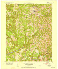
1952 · Campton
USGS Topo · 1:24,000

1952 · Heidelberg
USGS Topo · 1:24,000

1953 · Cowcreek
USGS Topo · 1:24,000

1953 · Booneville
USGS Topo · 1:24,000

1953 · Sturgeon
USGS Topo · 1:24,000