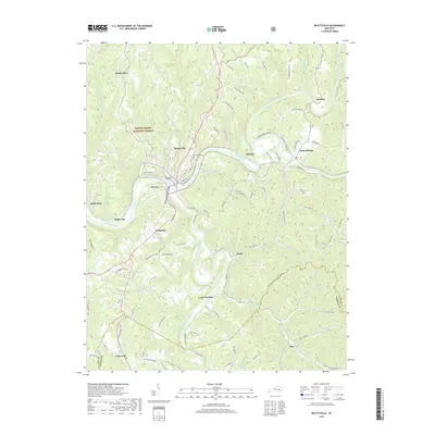
2019 Map of Beattyville
USGS Topo · Published 2019About this map
Beattyville serves as the focal point of this region, where the North Fork Kentucky River and South Fork Kentucky River converge to form the Kentucky River. This junction shaped the settlement patterns of Lee County, supporting communities like Proctor and Saint Helens. The map details a landscape characterized by steep valleys and narrow ridges, such as Maloney Ridge Rd and Butler Ridge Rd, which dictate the winding paths of local transit.
Find a feature on this map
107 named features on this map. Tap any name to fly to it.
Don’t see what you’re looking for? This feature index may not catch every label — zoom into the map to look around manually.
Map Details
Editions of this 2019 Beattyville Map
This is the sole edition of this map. No revisions or reprints were ever made.
Other maps of this area

1891 · Manchester
USGS Topo · 1:125,000

1892 · Beattyville
USGS Topo · 1:125,000

1952 · Tallega
USGS Topo · 1:24,000

1952 · Beattyville
USGS Topo · 1:24,000

1952 · Cobhill
USGS Topo · 1:24,000
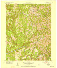
1952 · Campton
USGS Topo · 1:24,000

1952 · Heidelberg
USGS Topo · 1:24,000

1953 · Cowcreek
USGS Topo · 1:24,000

1953 · Booneville
USGS Topo · 1:24,000

1953 · Sturgeon
USGS Topo · 1:24,000