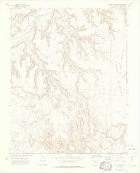
1972 Map of Beaty Canyon
USGS Topo · Published 1976About this map
The Purgatoire River carves a deep path through the northwestern corner of this Las Animas County landscape, its course marked by the traditional Rock Crossing. This early 1970s survey captures a semi-arid ranching environment where water management is the primary human imprint on the land. A network of dams and named springs, such as Goat Ranch Dam, Telephone Dam, and Sampler Spring, illustrates the necessity of capturing every seasonal flow within the complex drainages of Beaty Canyon and Clark Canyon.
Find a feature on this map
42 named features on this map. Tap any name to fly to it.
Don’t see what you’re looking for? This feature index may not catch every label — zoom into the map to look around manually.
Map Details
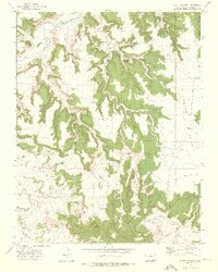
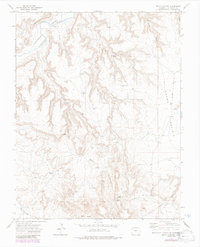
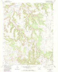
Editions of this 1972 Beaty Canyon Map
4 editions found
Other maps of this area

1891 · Higbee
USGS Topo · 1:125,000

1891 · Timpas
USGS Topo · 1:125,000

1891 · Mesa De Maya
USGS Topo · 1:125,000

1892 · Mt Carrizo
USGS Topo · 1:125,000

1893 · Higbee
USGS Topo · 1:125,000

1893 · Mesa de Maya
USGS Topo · 1:125,000

1894 · Timpas
USGS Topo · 1:125,000

1955 · La Junta
USGS Topo · 1:250,000

1958 · La Junta
USGS Topo · 1:250,000

1968 · La Junta
USGS Topo · 1:250,000