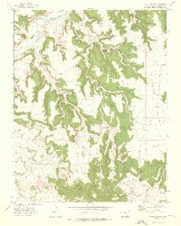
1972 Map of Beaty Canyon
USGS Topo · Published 1976About this map
Purgatoire River meanders through the northwest corner of this Colorado cattle-country terrain, setting the stage for a landscape defined by water management and ranching operations. The map details an extensive network of human-made infrastructure essential for survival in this arid environment, ranging from the Rock Crossing ford to numerous stock tanks and windmills. Named for local families and landmarks, features like Padilla Windmill and Goat Ranch Spring highlight the historical reliance on groundwater.
Find a feature on this map
46 named features on this map. Tap any name to fly to it.
Don’t see what you’re looking for? This feature index may not catch every label — zoom into the map to look around manually.
Map Details
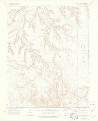
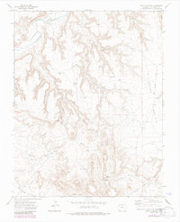
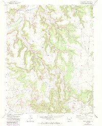
Editions of this 1972 Beaty Canyon Map
4 editions found
Other maps of this area

1891 · Higbee
USGS Topo · 1:125,000

1891 · Timpas
USGS Topo · 1:125,000

1891 · Mesa De Maya
USGS Topo · 1:125,000

1892 · Mt Carrizo
USGS Topo · 1:125,000

1893 · Higbee
USGS Topo · 1:125,000

1893 · Mesa de Maya
USGS Topo · 1:125,000

1894 · Timpas
USGS Topo · 1:125,000

1955 · La Junta
USGS Topo · 1:250,000

1958 · La Junta
USGS Topo · 1:250,000

1968 · La Junta
USGS Topo · 1:250,000