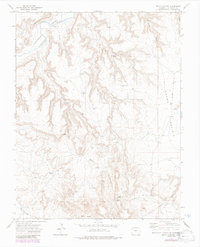
1972 Map of Beaty Canyon
USGS Topo · Published 1985About this map
The Purgatoire River carves through the northwestern corner of this Colorado landscape, where a specific Rock Crossing provided a vital passage through the canyon floor. The terrain transition from the deep incisions of Beaty Canyon and Clark Canyon to the broader expanse of Round Prairie reveals a landscape heavily adapted for ranching. Numerous small-scale water management features, such as Goat Ranch Dam, Northwest Dam, and the West Red Bench Windmill, demonstrate how local inhabitants utilized every drainage to sustain livestock. In the southern reaches, the Villegreen Road skirts past Piñon Park Hill and Stinking Hole, connecting these remote ranching sites. The density of named windmills like Padilla Windmill and Sixteen Windmill highlights the importance of groundwater in this high-desert environment during the early 1970s.
Find a feature on this map
42 named features on this map. Tap any name to fly to it.
Don’t see what you’re looking for? This feature index may not catch every label — zoom into the map to look around manually.
Map Details
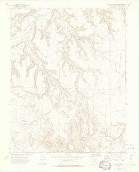
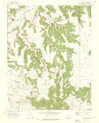
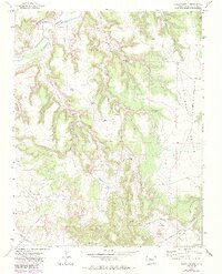
Editions of this 1972 Beaty Canyon Map
4 editions found
Other maps of this area

1891 · Higbee
USGS Topo · 1:125,000

1891 · Timpas
USGS Topo · 1:125,000

1891 · Mesa De Maya
USGS Topo · 1:125,000

1892 · Mt Carrizo
USGS Topo · 1:125,000

1893 · Higbee
USGS Topo · 1:125,000

1893 · Mesa de Maya
USGS Topo · 1:125,000

1894 · Timpas
USGS Topo · 1:125,000

1955 · La Junta
USGS Topo · 1:250,000

1958 · La Junta
USGS Topo · 1:250,000

1968 · La Junta
USGS Topo · 1:250,000