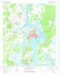
1958 Map of Beaufort
USGS Topo · Published 1974About this map
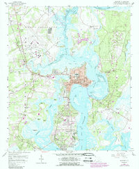
Beaufort and the surrounding Sea Islands are defined by a complex network of waterways, including the Beaufort River and Brickyard Creek. This 1950s landscape shows the heavy military and institutional presence that shaped the region's mid-century identity, from the sprawling Marine Corps Air Station on Port Royal Island to the U S Naval Hospital further south. The city core contains several landmark institutions, such as St Helenas Ch and the Beaufort National Cemetery, while the Charleston and Western Carolina railroad provides a vital land link across the marshy terrain.
Find a feature on this map
85 named features on this map. Tap any name to fly to it.
Don’t see what you’re looking for? This feature index may not catch every label — zoom into the map to look around manually.
Map Details
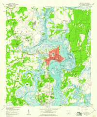
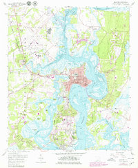
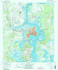
Editions of this 1958 Beaufort Map
5 editions found
Other maps of this area

1918 · Green Pond
USGS Topo · 1:62,500

1918 · Yemassee
USGS Topo · 1:62,500

1920 · Okatie
USGS Topo · 1:62,500

1942 · Okatie
USGS Topo · 1:62,500

1943 · Yemassee
USGS Topo · 1:62,500

1943 · Green Pond
USGS Topo · 1:62,500

1944 · Fort Fremont
USGS Topo · 1:62,500

1947 · Savannah
USGS Topo · 1:250,000

1948 · Savannah
USGS Topo · 1:250,000

1956 · Frogmore
USGS Topo · 1:24,000