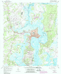
1958 Map of Beaufort
USGS Topo · Published 1989About this map
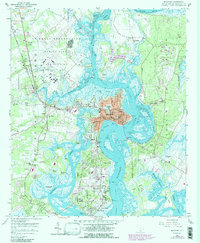
The Lowcountry landscape of Port Royal Island and Ladies Island is defined here by a dense network of tidal creeks and maritime military installations. At the heart of the map, the historic waterfront of Beaufort is depicted with its local government buildings, including the Courthouse and City Hall PO, while the expansive Beaufort National Cemetery stands as a prominent landmark to the north. The area's significant military footprint is evident in the sprawling Marine Corps Air Station and the US Naval Hospital complex overlooking the Beaufort River.
Find a feature on this map
73 named features on this map. Tap any name to fly to it.
Don’t see what you’re looking for? This feature index may not catch every label — zoom into the map to look around manually.
Map Details
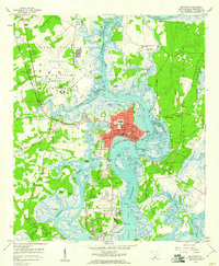
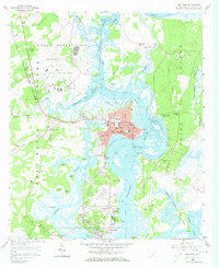
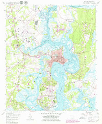
Editions of this 1958 Beaufort Map
5 editions found
Other maps of this area

1918 · Green Pond
USGS Topo · 1:62,500

1918 · Yemassee
USGS Topo · 1:62,500

1920 · Okatie
USGS Topo · 1:62,500

1942 · Okatie
USGS Topo · 1:62,500

1943 · Yemassee
USGS Topo · 1:62,500

1943 · Green Pond
USGS Topo · 1:62,500

1944 · Fort Fremont
USGS Topo · 1:62,500

1947 · Savannah
USGS Topo · 1:250,000

1948 · Savannah
USGS Topo · 1:250,000

1956 · Frogmore
USGS Topo · 1:24,000