Loading...
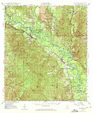
Loading map...1947 Map of Beaumont
USGS Topo · Published 1972About this map
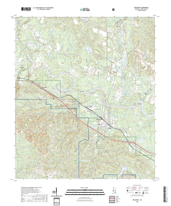
The Leaf River winds through the heart of Perry and Greene Counties in this 1947 survey, defining a landscape of oxbow lakes, sandbars, and low-lying hammocks. The river's influence is evident in the numerous named water bodies like Hillman Dead River, Horseshoe Bend, and Bealskover Sandbar. To the west, the Camp Shelby Military Reservation occupies a significant portion of the terrain, while the southern reaches are dominated by the De Soto National Forest.
Find a feature on this map
71 named features on this map. Tap any name to fly to it.
Don’t see what you’re looking for? This feature index may not catch every label — zoom into the map to look around manually.
Map Details
Date Portrayed1947
Date Published1972
PublisherU.S. Geological Survey
Map TypeTopographic
Scale1:62,500
Physical Dimensions17.9 x 20.8 inches
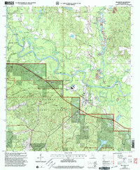
Editions of this 1947 Beaumont Map
2 editions found

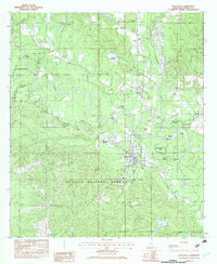
Historical Maps of Beaumont Through Time
9 maps found

Featured Locations
Source Details
SourceU.S. Geological Survey
CopyrightPublic Domain