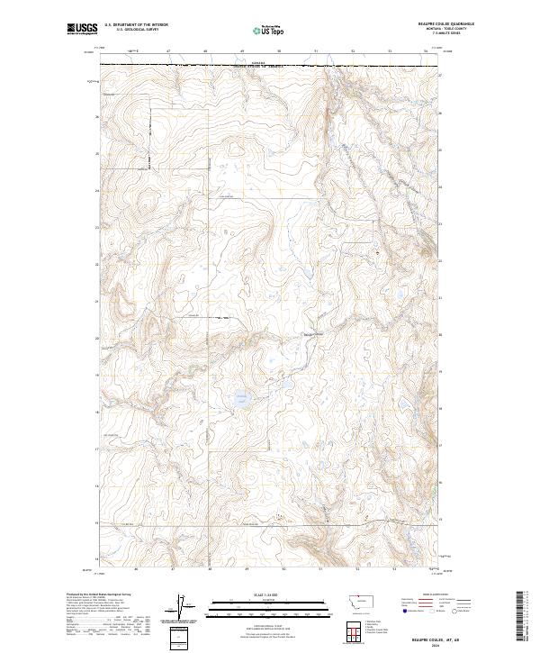
2024 Map of Beaupre Coulee
USGS Topo · Published 2024About this map
Canada lies along the northern boundary of this high plains landscape in northern Montana. The terrain is defined by a series of dramatic coulees that drain the region, including the prominent Beaupre Coulee and Certain Coulee. The presence of Coal Mine Rd near O'Laughlin Coulee suggests the history of resource extraction common to this part of Toole County, while family-named routes like Kohles Rd and Pederson Rd mark the legacy of rural land ownership and agricultural development. The southeastern corner is carved by Kicking Horse Creek and Timber Coulee, while Perkins Lake provides a rare water feature in this otherwise arid environment. The road network, including Border Rd and Nine Mile Rd, follows the section lines of the Public Land Survey System, illustrating the orderly grid of Western settlement.
Find a feature on this map
22 named features on this map. Tap any name to fly to it.
Don’t see what you’re looking for? This feature index may not catch every label — zoom into the map to look around manually.
Map Details
Editions of this 2024 Beaupre Coulee Map
This is the sole edition of this map. No revisions or reprints were ever made.
Other maps of this area

1939 · Sunburst
USGS Topo · 1:62,500

1945 · West Butte
USGS Topo · 1:62,500

1954 · Shelby
USGS Topo · 1:250,000

1958 · Shelby
USGS Topo · 1:250,000

1984 · Sweet Grass Hills
USGS Topo · 1:100,000
1986 · Ferdig
USGS Topo · 1:24,000
1986 · West Butte
USGS Topo · 1:24,000
1986 · Willshaw Flats
USGS Topo · 1:24,000
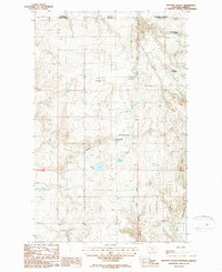
1986 · Beaupre Coulee
USGS Topo · 1:24,000
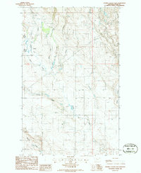
1986 · Fivemile Coulee East
USGS Topo · 1:24,000