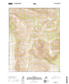
2017 Map of Beaver B-6 NE
USGS Topo · Published 2017About this map
Mud Fork meanders through this interior Alaskan landscape, which is defined by the high elevations of Long Ridge. The topography is marked by significant relief, with contour lines illustrating a series of steep drainages and upland plateaus. This 2017 survey reveals an area largely untouched by permanent settlements or transportation infrastructure, adhering instead to the Rectangular Survey System as seen in the boundaries of t19n r10w and t19n r9w. The absence of roads or structures emphasizes the wilderness character of the Yukon-Koyukuk region during this period.
Find a feature on this map
6 named features on this map. Tap any name to fly to it.
Don’t see what you’re looking for? This feature index may not catch every label — zoom into the map to look around manually.
Map Details
Editions of this 2017 Beaver B-6 NE Map
This is the sole edition of this map. No revisions or reprints were ever made.
Other maps of this area

1951 · Beaver
USGS Topo · 1:250,000

1956 · Beaver B-5
USGS Topo · 1:63,360

1956 · Beaver
USGS Topo · 1:250,000

1964 · Beaver
USGS Topo · 1:250,000
1970 · Beaver C-6
USGS Topo · 1:63,360

1970 · Beaver B-6
USGS Topo · 1:63,360
1970 · Beaver C-5
USGS Topo · 1:63,360
2017 · Beaver B-5 NW
USGS Topo · 1:25,000
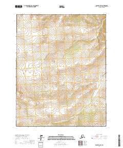
2017 · Beaver C-6 SW
USGS Topo · 1:25,000
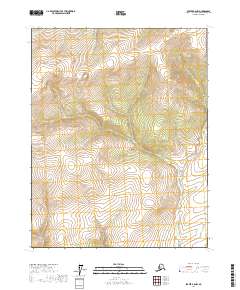
2017 · Beaver B-6 NW
USGS Topo · 1:25,000