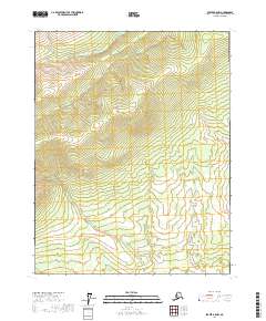
2017 Map of Beaver B-5 NW
USGS Topo · Published 2017About this map
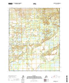
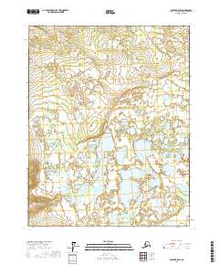
Long Ridge dominates the central topography of this remote Alaskan interior landscape, a high spine that divides the surrounding drainages within the Yukon-Koyukuk Census Area. Along the northern edge, the waters of the Mud Fork flow through the lowlands, reflecting the classic braided and meandering river patterns typical of this subarctic wilderness. This 2017 survey shows the land as it remained in the early 21st century—untracked by major roads and defined primarily by its natural relief and water systems. The Public Land Survey System grid overlays segments of townships including t19n r9w, t19n r8w, t18n r9w, and t18n r8w, providing a structural reference for this vast stretch of undeveloped terrain north of the Yukon River.
Find a feature on this map
6 named features on this map. Tap any name to fly to it.
Don’t see what you’re looking for? This feature index may not catch every label — zoom into the map to look around manually.
Map Details
Editions of this 2017 Beaver B-5 NW Map
This is the sole edition of this map. No revisions or reprints were ever made.
Other maps of this area

1951 · Beaver
USGS Topo · 1:250,000

1956 · Beaver B-5
USGS Topo · 1:63,360

1956 · Beaver
USGS Topo · 1:250,000

1964 · Beaver
USGS Topo · 1:250,000
1970 · Beaver C-6
USGS Topo · 1:63,360

1970 · Beaver B-6
USGS Topo · 1:63,360
1970 · Beaver C-5
USGS Topo · 1:63,360
2017 · Beaver B-6 NE
USGS Topo · 1:25,000
2017 · Beaver B-5 SE
USGS Topo · 1:25,000
2017 · Beaver B-5 SW
USGS Topo · 1:25,000