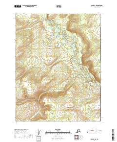
2017 Map of Beaver C-1 NE
USGS Topo · Published 2017About this map
The Hadweenzic River meanders through the northern interior of Alaska in this part of the Yukon-Koyukuk region. This topographic study reveals a landscape defined by complex water systems, where the main river channel is flanked by numerous ponds, wetlands, and smaller tributaries like Twentyfour Mile Cr. The lack of road infrastructure or named settlements highlights the area's wild character, with the map focusing primarily on the natural drainage patterns and the elevation changes across the remote terrain. Surveyed sections include t22n r3e and t21n r2e, providing a precise look at the township and range divisions used for land management in this sparsely populated stretch of the Alaskan interior.
Find a feature on this map
6 named features on this map. Tap any name to fly to it.
Don’t see what you’re looking for? This feature index may not catch every label — zoom into the map to look around manually.
Map Details
Editions of this 2017 Beaver C-1 NE Map
This is the sole edition of this map. No revisions or reprints were ever made.
Other maps of this area

1951 · Fort Yukon
USGS Topo · 1:250,000

1951 · Beaver
USGS Topo · 1:250,000

1956 · Beaver
USGS Topo · 1:250,000

1956 · Fort Yukon
USGS Topo · 1:250,000
1956 · Fort Yukon D-6
USGS Topo · 1:63,360
1956 · Fort Yukon C-6
USGS Topo · 1:63,360

1964 · Beaver
USGS Topo · 1:250,000
1990 · Beaver D-1
USGS Topo · 1:63,360
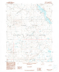
1990 · Beaver C-1
USGS Topo · 1:63,360
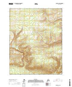
2017 · Beaver C-1 SW
USGS Topo · 1:25,000